Friedrichsplatz, Mannheim
Map

Map

Facts and practical information
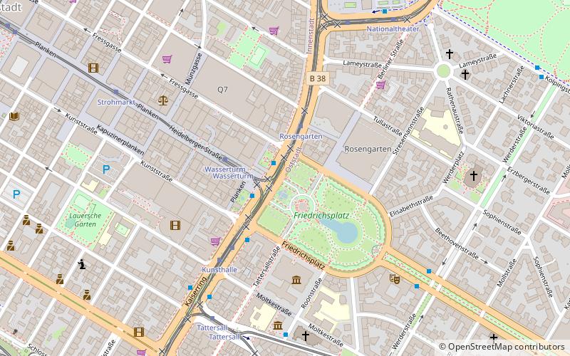
Friedrichsplatz in Mannheim is one of the most completely preserved neo-Baroque and Art Nouveau elements in Germany. It was laid out in the years following the completion of Mannheim's water tower in 1889.
Elevation: 328 ft a.s.l.Coordinates: 49°29'5"N, 8°28'30"E
Day trips
Friedrichsplatz – popular in the area (distance from the attraction)
Nearby attractions include: Kunsthalle Mannheim, Mannheim Palace, Water Tower, Reiss Engelhorn Museum.
Frequently Asked Questions (FAQ)
Which popular attractions are close to Friedrichsplatz?
Nearby attractions include Water Tower, Mannheim (1 min walk), Kunsthalle Mannheim, Mannheim (3 min walk), Hochschule für Musik und Darstellende Kunst Mannheim, Mannheim (4 min walk), Mannheimer Wasserturm, Mannheim (4 min walk).
How to get to Friedrichsplatz by public transport?
The nearest stations to Friedrichsplatz:
Bus
Tram
Train
Bus
- Wasserturm • Lines: 60, 63, 64, 7 (1 min walk)
- Wasserturm Steig D • Lines: 60, 63, 64 (2 min walk)
Tram
- Rosengarten • Lines: 2 (2 min walk)
- Wasserturm • Lines: 2, 3, 4, 4A, 6, 6A (2 min walk)
Train
- Mannheim Hauptbahnhof (12 min walk)
- Collini-Center (13 min walk)


