Luginsland, Memmingen
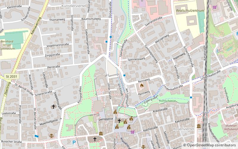
Map

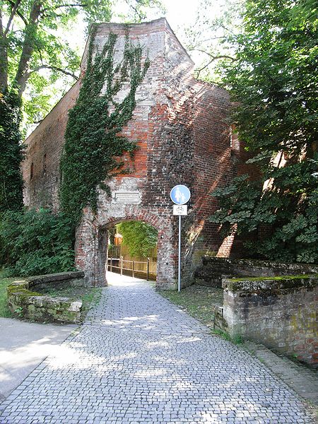
Gallery

Facts and practical information
The Luginsland was the highest defensive tower of the Upper Swabian town of Memmingen. Like other Memmingen city towers, it was demolished in 1806 at the request of the French.
Coordinates: 47°59'20"N, 10°10'51"E
Day trips
Luginsland – popular in the area (distance from the attraction)
Nearby attractions include: St. Martin's church, MEWO Kunsthalle, Ulmer Tor, Westertor.
Frequently Asked Questions (FAQ)
Which popular attractions are close to Luginsland?
Nearby attractions include Ulmer Tor, Memmingen (1 min walk), City Hall, Memmingen (5 min walk), St.-Martins-Kirche, Memmingen (6 min walk), St. Martin's church, Memmingen (6 min walk).
How to get to Luginsland by public transport?
The nearest stations to Luginsland:
Bus
Train
Bus
- Memmingen, Luginsland • Lines: 250, 251 (1 min walk)
- Kohlschanzstraße • Lines: 1, 2 (7 min walk)
Train
- Memmingen (10 min walk)


