Franzosenkopf, Harz National Park

Map
Facts and practical information
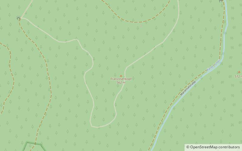
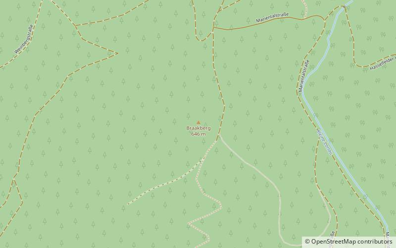
The Franzosenkopf is a 562 metre high hill in the Harz Mountains of central Germany, which lies about 1.4 kilometres northeast of Lonau in the district of Göttingen in Lower Saxony. To the north of the Franzosenkopf is the Braakberg, a shallow saddle separating them. Flowing around the Franzosenkopf to the east and south is the Kleine Lonau in the valley of Mariental. To the west the Franzosenkopf is separated from the Kargeskopf hill by the Hackenstieltal valley. ()
Address
Harz National Park
ContactAdd
Social media
Add
Day trips
Franzosenkopf – popular in the area (distance from the attraction)
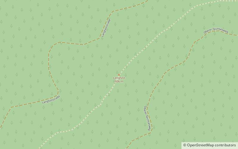
Nearby attractions include: Großer Mittelberg, Braakberg, Langfast, NSG Siebertal.
Frequently Asked Questions (FAQ)
Which popular attractions are close to Franzosenkopf?
Nearby attractions include Großer Mittelberg, Harz National Park (14 min walk), Braakberg, Harz National Park (17 min walk).
How to get to Franzosenkopf by public transport?
The nearest stations to Franzosenkopf:
Bus
Bus
- Lonau Dorfgemeinschaftshaus • Lines: 451 (26 min walk)


