Trek Zone

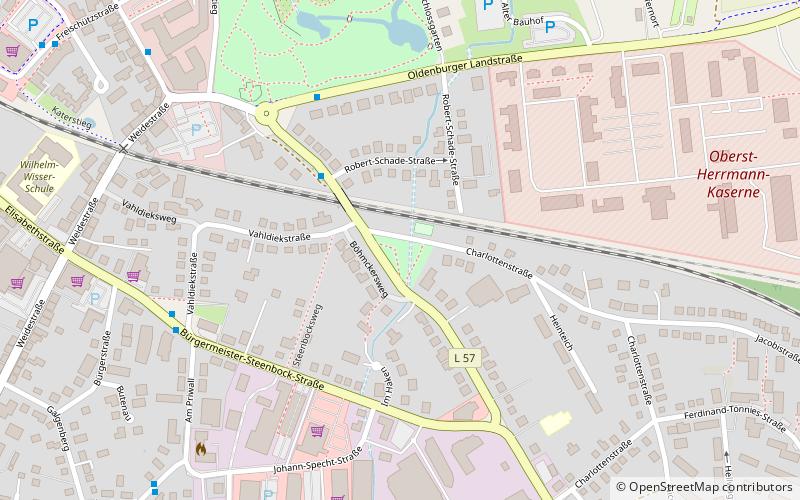
Carl-Maria-von-Weber-Straße, Eutin

#3 among attractions in Eutin

Bridge
Carl-Maria-von-Weber-Straße

Facts and practical information

Carl-Maria-von-Weber-Straße is a place located in Eutin (Schleswig-Holstein state) and belongs to the category of bridge.

It is situated at an altitude of 148 feet, and its geographical coordinates are 54°7'51"N latitude and 10°37'25"E longitude.

Among other places and attractions worth visiting in the area are: Eutin Castle (library, 13 min walk), Großer Eutiner See (nature, 24 min walk), Sibbersdorfer See (nature, 51 min walk).

Coordinates: 54°7'51"N, 10°37'25"E
Address

Eutin Germany

ContactAdd
Social media
Add

Eutin plan & book

Unleash the traveler in you — discover the cheapest flight deals, find the perfect hotel or hostel nearby, and search for the best car rental prices. Travel at your own pace to discover new places and enjoy your journey.

Day trips

Carl-Maria-von-Weber-Straße – popular in the area (distance from the attraction)

Nearby attractions include: Bridegroom's Oak, Bungsberg, Eutin Castle, Ukleisee.

  • bridegrooms oak2.8 miW
  • bungsberg6.9 miNE
  • eutin castle0.5 miNW
  • ukleisee3.7 miN
  • dieksee4.9 miNW
  • grosser eutiner see0.9 miNE
  • bungsberg telecommunications tower6.8 miNE
  • stendorfer see location map
    4 miNE
  • kellersee3.2 miN
  • langensee6 miW
  • middelburger see location map
    4.4 miSE

Where to next? Visit schleswig holstein Schleswig-Holstein region page or discover the top tourist attractions in Germany.