Nilkheimer Mainbrücke, Aschaffenburg
Map

Map

Facts and practical information
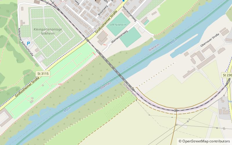
The Nilkheimer Mainbrücke is a single-track railroad bridge on the former Aschaffenburg-Höchst railroad line at line kilometer 3.126. The structure, built in 1910, spans the Main River at stream kilometer 89.75 in Aschaffenburg, between the districts of Nilkheim and Obernau. The bridge was not destroyed during World War II.
Coordinates: 49°57'11"N, 9°7'10"E
Address
Aschaffenburg
ContactAdd
Social media
Add
Day trips
Nilkheimer Mainbrücke – popular in the area (distance from the attraction)
Nearby attractions include: Schloss Johannisburg, Pompejanum, Schönbusch, Staatsgalerie Aschaffenburg.
Frequently Asked Questions (FAQ)
How to get to Nilkheimer Mainbrücke by public transport?
The nearest stations to Nilkheimer Mainbrücke:
Bus
Bus
- Ernst-Streun-Platz • Lines: 53/Bg2, 54/Bg3 (7 min walk)
- Birkenweg • Lines: 6 (8 min walk)


