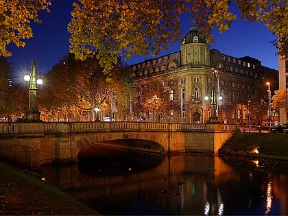
Graf-Adolf-Platz, Düsseldorf
Map
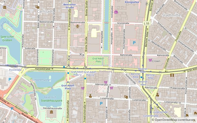
Map

Facts and practical information
Graf-Adolf-Platz in Düsseldorf is one of the city's important transportation hubs and was also the starting point for long-distance travel in the past.
Elevation: 144 ft a.s.l.Coordinates: 51°13'10"N, 6°46'41"E
Address
Stadtbezirke 01 (Stadt-Mitte)Düsseldorf
ContactAdd
Social media
Add
Day trips
Graf-Adolf-Platz – popular in the area (distance from the attraction)
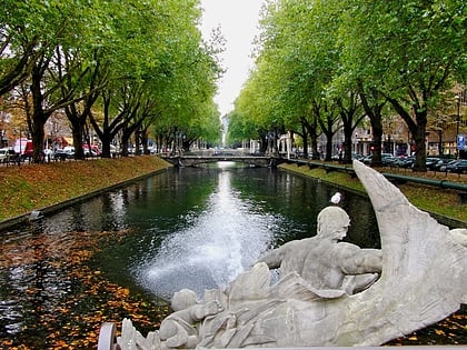
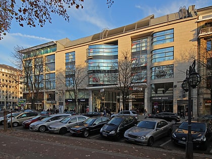
Nearby attractions include: Königsallee, Altstadt, Kunst im Tunnel, Sevens Home of Saturn.
Frequently Asked Questions (FAQ)
Which popular attractions are close to Graf-Adolf-Platz?
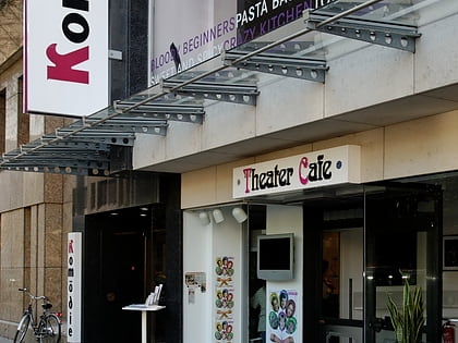
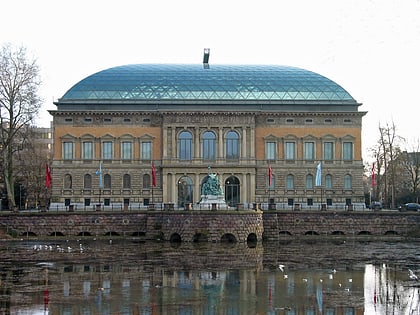
Nearby attractions include Apollo-Theater, Düsseldorf (3 min walk), Altes Schauspielhausgebäude Düsseldorf, Düsseldorf (3 min walk), FFT Kammerspiele, Düsseldorf (4 min walk), Ständehauspark, Düsseldorf (6 min walk).
How to get to Graf-Adolf-Platz by public transport?
The nearest stations to Graf-Adolf-Platz:
Tram
Bus
Metro
Train
Tram
- Graf-Adolf-Platz U • Lines: 706, 708, 709 (2 min walk)
- Berliner Allee • Lines: 701, 705, 706, 708, 709 (5 min walk)
Bus
- Graf-Adolf-Platz U • Lines: 726, Ne7, Sb85 (3 min walk)
- Graf-Adolf-Platz • Lines: Ne7 (4 min walk)
Metro
- Graf-Adolf-Platz • Lines: U71, U72, U73, U83 (4 min walk)
- Benrather Straße U • Lines: U71, U72, U73, U83 (7 min walk)
Train
- Düsseldorf-Friedrichstadt (18 min walk)
- Düsseldorf Central Station (18 min walk)

