Hohe Weg, Lower Saxon Wadden Sea National Park

Gallery (4)
Map

Map
Gallery
Facts and practical information
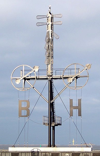
Hohe Weg is a place located in Lower Saxon Wadden Sea National Park (Lower Saxony state) and belongs to the category of lighthouse.
It is situated at an altitude of 0 feet, and its geographical coordinates are 53°42'44"N latitude and 8°14'36"E longitude.
Among other places and attractions worth visiting in the area are: Hohe Weg (lighthouse, 21 min walk), Mellum (island, 99 min walk).
Coordinates: 53°42'44"N, 8°14'36"E
Address
Lower Saxon Wadden Sea National Park
ContactAdd
Social media
Add
Day trips

