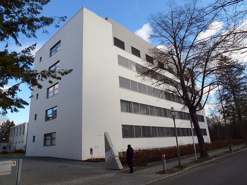
Fritz Haber Institute of the Max Planck Society, Berlin
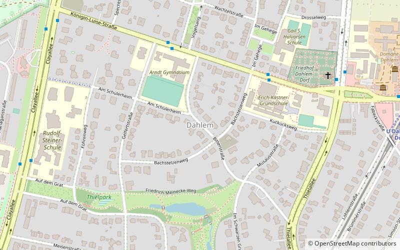
Map
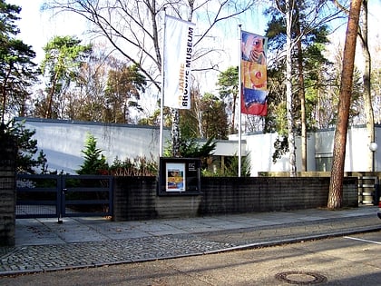
Gallery
Facts and practical information
Local name: Fritz-Haber-Institut der Max-Planck-Gesellschaft Elevation: 174 ft a.s.l.Coordinates: 52°26'57"N, 13°16'55"E
Address
Steglitz-Zehlendorf (Dahlem)Berlin
ContactAdd
Social media
Add
Day trips
Fritz Haber Institute of the Max Planck Society – popular in the area (distance from the attraction)
Nearby attractions include: Botanical Garden and Botanical Museum, Ethnologisches Museum, Allied Museum, Museum of Asian Art.
Frequently Asked Questions (FAQ)
Which popular attractions are close to Fritz Haber Institute of the Max Planck Society?
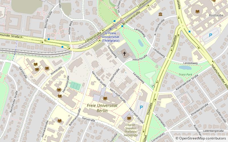
Nearby attractions include Philological Library, Berlin (9 min walk), Free University of Berlin, Berlin (13 min walk), Dahlem, Berlin (15 min walk), Allied Museum, Berlin (16 min walk).
How to get to Fritz Haber Institute of the Max Planck Society by public transport?
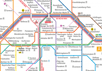
The nearest stations to Fritz Haber Institute of the Max Planck Society:
Metro
Metro
- U Freie Universität • Lines: U3 (4 min walk)
- U Oskar-Helene-Heim • Lines: U3 (15 min walk)

 Metro
Metro

