Stadtbrücke, Pirna
Map

Gallery

Facts and practical information
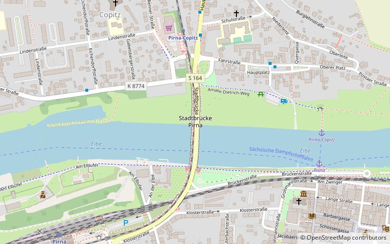
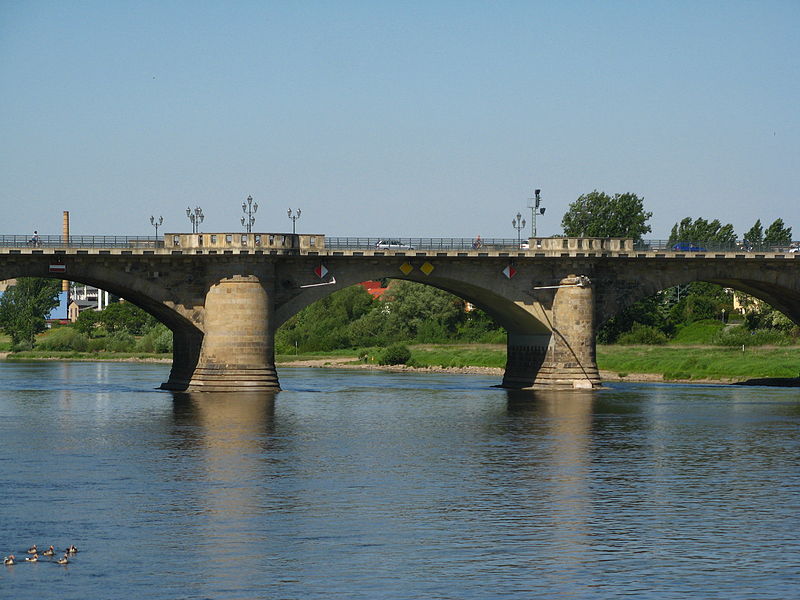
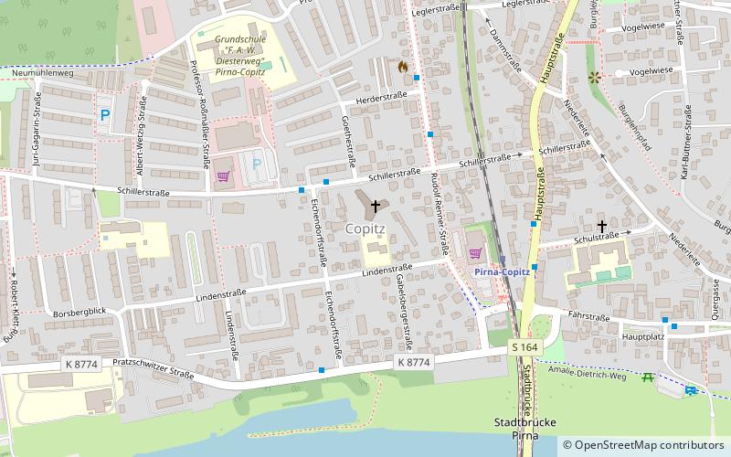
The Stadtbrücke Pirna is a 295.45 m long bridge over the Elbe River in Pirna built in 1875. As a combined road and railroad bridge, the stone arch bridge crosses the state road 164 as well as the railroad line Kamenz-Pirna and connects at the Elbe kilometer 34.34 the central Pirnaer Westvorstadt with the northern district Copitz. To distinguish it from the Sachsenbrücke bridge, which was completed in 1999, the bridge has been given the name "Stadtbrücke" by the city of Pirna.
Coordinates: 50°57'56"N, 13°56'4"E
Address
Pirna
ContactAdd
Social media
Add
Day trips
Stadtbrücke – popular in the area (distance from the attraction)
Nearby attractions include: Schloss Sonnenstein, Julius-Otto-Denkmal, Deutsch-Sowjetisches Jugendfestival 1970, Copitz.
Frequently Asked Questions (FAQ)
Which popular attractions are close to Stadtbrücke?
Nearby attractions include Copitz, Pirna (7 min walk), Deutsch-Sowjetisches Jugendfestival 1970, Pirna (7 min walk), Julius-Otto-Denkmal, Pirna (13 min walk), Schloss Sonnenstein, Pirna (15 min walk).
How to get to Stadtbrücke by public transport?
The nearest stations to Stadtbrücke:
Bus
Train
Ferry
Bus
- Schulstraße • Lines: 226, 234, 236, 238, 246, 254, G/L, M, P (6 min walk)
- Hauptplatz • Lines: 238, M (5 min walk)
Train
- Pirna-Copitz (5 min walk)
- Pirna (9 min walk)
Ferry
- Pirna-Copitz • Lines: F9 (7 min walk)
- Pirna • Lines: F9 (7 min walk)


