Max-Schultze-Steig, Regensburg
Map

Gallery

Facts and practical information
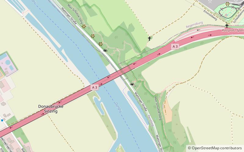
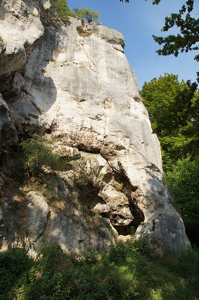
The Max-Schultze-Steig is a hillside area about 2.2 kilometers long and up to 300 meters wide on the right bank of the Danube, at the southwest corner of Regensburg. A twelve-hectare area is protected and belongs partly to the city of Regensburg, partly to the municipality of Pentling, district of Regensburg. More than twenty prominent rock towers made of limestone of the Jurassic or Cretaceous period with a height of more than 20 meters characterize the appearance of the site.
Area: 30.76 acres (0.0481 mi²)Elevation: 1135 ft a.s.l.Coordinates: 48°59'57"N, 12°2'30"E
Address
Regensburg
ContactAdd
Social media
Add
Day trips
Max-Schultze-Steig – popular in the area (distance from the attraction)
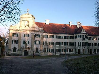
Nearby attractions include: Public Observatory Regensburg, Saint Emmeram's Abbey, Scots Monastery, Herzogspark.
Frequently Asked Questions (FAQ)
How to get to Max-Schultze-Steig by public transport?
The nearest stations to Max-Schultze-Steig:
Bus
Train
Bus
- Sinzing Abzw. Bahnhof • Lines: 127 (13 min walk)
- Abzweig Riegling/Kleinprüfening • Lines: 127 (15 min walk)
Train
- Sinzing (16 min walk)
- Regensburg-Prüfening (25 min walk)


