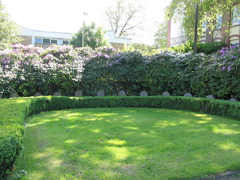
Kommunalfriedhof Witten-Annen, Witten

Gallery (2)
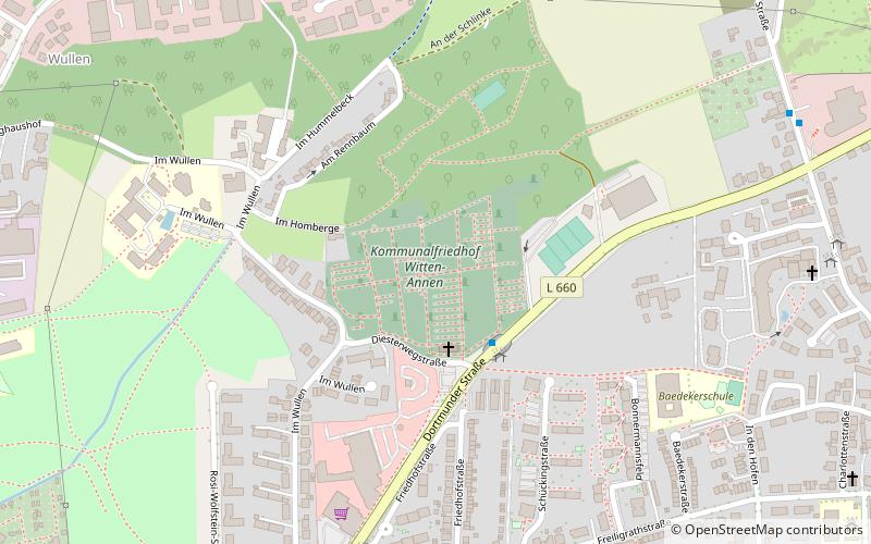
Map
Map
Gallery
Facts and practical information
The Witten-Annen Municipal Cemetery or Annen Cemetery is a municipal cemetery in Witten in the district of Annen. It has a size of approximately 4.8 ha.
Coordinates: 51°27'13"N, 7°22'2"E
Address
Witten
ContactAdd
Social media
Add
Getting there by public transportation
Public transportation stops near this location
- Bus
- Train
 Bus
Bus
- Calculate routeDortmunder Straße 9 min walk
- Calculate routeWaldorfschule 12 min walk
- Calculate routeWitten Annen-Nord 14 min walk
Day trips


Frequently Asked Questions (FAQ)
Which popular attractions are close to Kommunalfriedhof Witten-Annen?
Nearby attractions include ehemaliger Jüdischer Friedhof, Witten (2 min walk), Zwangsarbeiterdenkmal, Witten (2 min walk), Restfläche KZ-Außenlager, Witten (11 min walk), Spektralringe, Witten (11 min walk).
How to get to Kommunalfriedhof Witten-Annen by public transport?
The nearest stations to Kommunalfriedhof Witten-Annen:
Bus
Train
Bus
- Dortmunder Straße • Lines: 373, 375, Ne18 (9 min walk)
- Waldorfschule • Lines: 373 (12 min walk)
Train
- Witten Annen-Nord (14 min walk)