Bullenkuhle

Gallery (1)
Map
Map
Facts and practical information
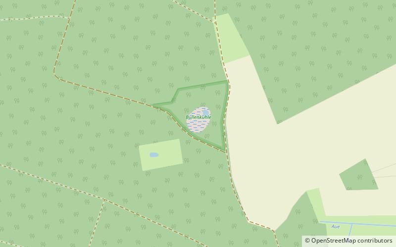
The Bullenkuhle is a predominantly marshy lake in the extreme north of the district of Gifhorn in the north German state of Lower Saxony. This strange biotope and geotope has been formed into a natural hollow in the terrain that is termed a sinkhole. The area is environmentally protected. ()
Alternative names: Area: 24.71 acres (0.0386 mi²)Elevation: 325 ft a.s.l.Coordinates: 52°48'47"N, 10°31'1"E
Location
Lower Saxony
ContactAdd
Social media
Add
Day trips

