Schillerdenkmal, Wörrstadt

Gallery (1)
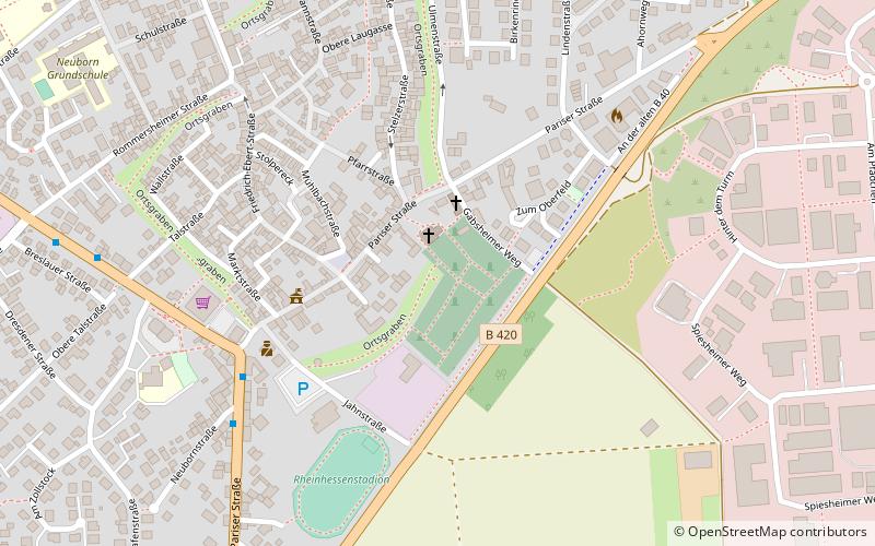
Map
Map
Facts and practical information
Schillerdenkmal is a place located in Wörrstadt (Rhineland-Palatinate state) and belongs to the category of memorial.
It is situated at an altitude of 741 feet, and its geographical coordinates are 49°50'16"N latitude and 8°7'7"E longitude.
Among other places and attractions worth visiting in the area are: Ev. St. Laurentiuskirche (church, 1 min walk), Kath. Kirche St. Laurentius (church, 2 min walk), Dienheimer Schloss, Saulheim (forts and castles, 77 min walk).
Coordinates: 49°50'16"N, 8°7'7"E
Address
Wörrstadt
ContactAdd
Social media
Add
Day trips


Frequently Asked Questions (FAQ)
Which popular attractions are close to Schillerdenkmal?
Nearby attractions include Ev. St. Laurentiuskirche, Wörrstadt (1 min walk), Kath. Kirche St. Laurentius, Wörrstadt (2 min walk).