Laufbrunnen, Dinkelsbühl

Gallery (1)
Map
Map
Facts and practical information
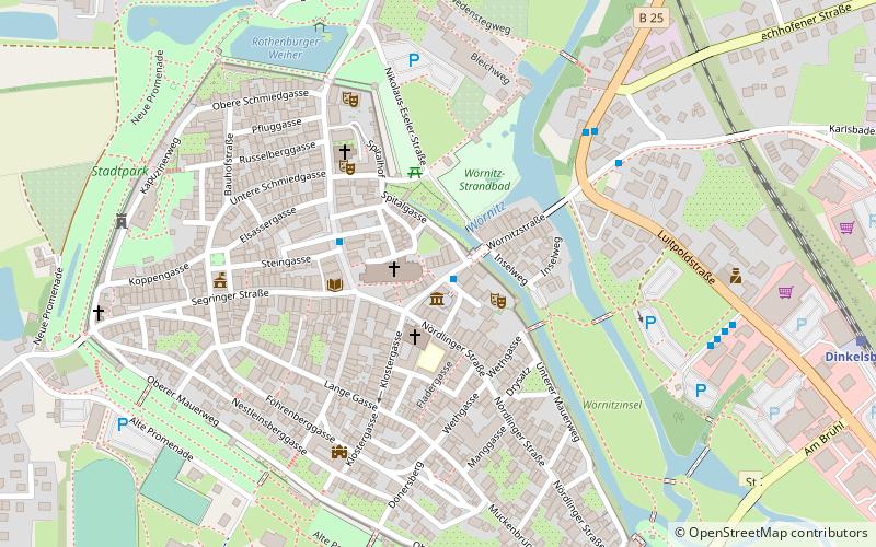
Laufbrunnen is a place located in Dinkelsbühl (Bavaria ) and belongs to the category of fountain.
It is situated at an altitude of 1460 feet, and its geographical coordinates are 49°4'10"N latitude and 10°19'15"E longitude.
Planning a visit to this place, one can easily and conveniently get there by public transportation. Laufbrunnen is a short distance from the following public transport stations: Altrathausplatz (bus, 1 min walk), Dinkelsbühl (train, 10 min walk).
Among other places and attractions worth visiting in the area are: Wörnitztor (city gate, 1 min walk), Kleine Bastei (tower, 2 min walk), Henkersturm (tower, 4 min walk).
Coordinates: 49°4'10"N, 10°19'15"E
Address
Dinkelsbühl
ContactAdd
Social media
Add
Getting there by public transportation
Public transportation stops near this location
- Bus
- Train
 Bus
Bus
- Calculate routeAltrathausplatz 1 min walk
- Calculate routeSchranne 3 min walk
- Calculate routeAm Stauferwall 5 min walk
- Calculate routeDinkelsbühl 10 min walk
Day trips
Laufbrunnen – popular in the area (distance from the attraction)
Nearby attractions include: Rothenburger Tor, Segringer Tor, Nördlinger Tor, Wörnitztor.


Frequently Asked Questions (FAQ)
Which popular attractions are close to Laufbrunnen?
Nearby attractions include Wörnitztor, Dinkelsbühl (1 min walk), Kleine Bastei, Dinkelsbühl (2 min walk), Henkersturm, Dinkelsbühl (4 min walk), Finanzamt / Deutschordensschloss, Dinkelsbühl (5 min walk).
How to get to Laufbrunnen by public transport?
The nearest stations to Laufbrunnen:
Bus
Train
Bus
- Altrathausplatz • Lines: 871 (1 min walk)
- Schranne • Lines: 871 (3 min walk)
Train
- Dinkelsbühl (10 min walk)