Waterlooplatz, Hanover
Map
Gallery
Facts and practical information
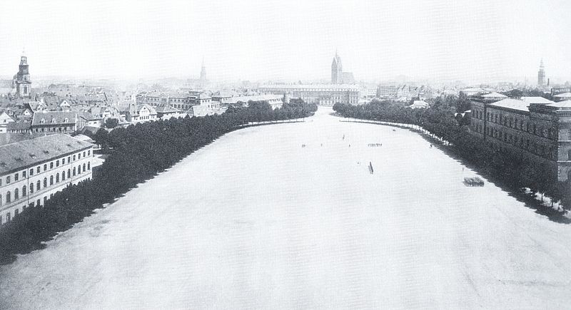
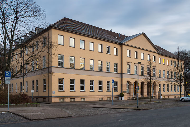
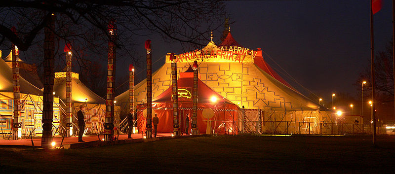
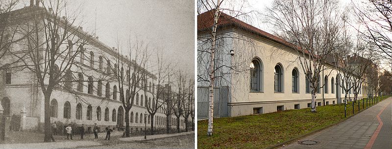
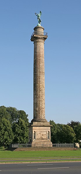
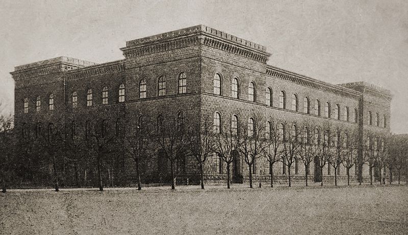
Waterlooplatz in Hannover is a lawn of about four hectares in the district of Calenberger Neustadt. On the square stands the Waterloo column. The square and column were created in the 19th century to commemorate the Battle of Waterloo. While the square originally surrounded a barracks area when it was created in the first half of the 19th century, today it is located in the middle of the government and administrative district of the capital of Lower Saxony.
Elevation: 174 ft a.s.l.Coordinates: 52°22'2"N, 9°43'43"E
Day trips
Waterlooplatz – popular in the area (distance from the attraction)
Nearby attractions include: New Town Hall, Niedersachsenstadion, Historisches Museum Hannover, Lower Saxony State Museum.
Frequently Asked Questions (FAQ)
Which popular attractions are close to Waterlooplatz?
Nearby attractions include Waterloosäule, Hanover (2 min walk), Reformed Church, Hanover (5 min walk), Leibniz Theater, Hanover (5 min walk), Hanover-Mitte, Hanover (5 min walk).
How to get to Waterlooplatz by public transport?
The nearest stations to Waterlooplatz:
Metro
Bus
Tram
Ferry
Train
Metro
- Waterloo (3 min walk)
- Markthalle/Landtag (11 min walk)
Bus
- Waterloo • Lines: 120 (5 min walk)
- Calenberger Straße • Lines: 120 (6 min walk)
Tram
- Humboldtstraße • Lines: 10N, 17 (9 min walk)
- Schwarzer Bär • Lines: 17, 9 (9 min walk)
Ferry
- Stadion (13 min walk)
- Nordufer/Fackelträger (14 min walk)
Train
- Hanover Central Station (23 min walk)
- Hannover-Linden/Fischerhof (27 min walk)


