Französischer Friedhof, Bergisch Gladbach
Map

Map

Facts and practical information
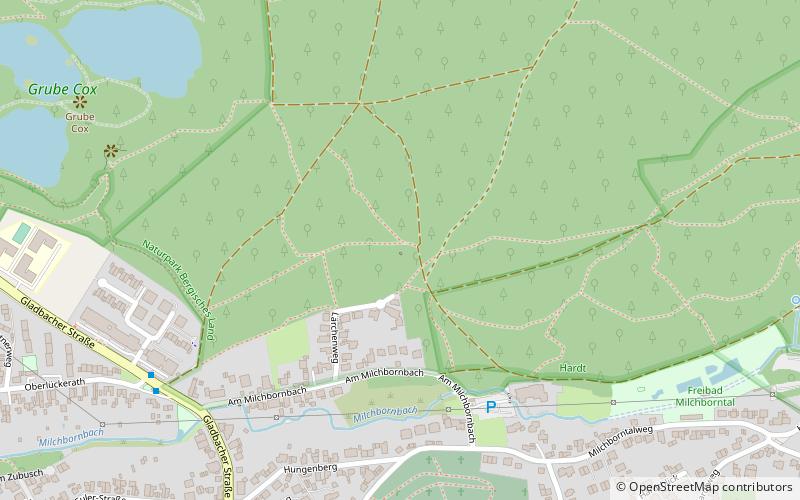
The French Churchyard, also called the French Cemetery or the War Memorial, is a resting place in mass graves for the hospital residents of the Napoleonic troops in the Milchborntal in Bensberg on the southwestern edge of the Hardt, who died mainly of typhus and were housed in Bensberg Castle from 1812.
Coordinates: 50°58'21"N, 7°9'18"E
Address
Bergisch Gladbach
ContactAdd
Social media
Add
Day trips
Französischer Friedhof – popular in the area (distance from the attraction)
Nearby attractions include: Mediterana, Puppenpavillon Bensberg, Evangelische Kirche Bensberg, St. Nicholas.
Frequently Asked Questions (FAQ)
Which popular attractions are close to Französischer Friedhof?
Nearby attractions include Ruhestätte österreichischer Krieger, Bergisch Gladbach (3 min walk), Evangelische Kirche Bensberg, Bergisch Gladbach (9 min walk), St. Nicholas, Bergisch Gladbach (10 min walk), Puppenpavillon Bensberg, Bergisch Gladbach (22 min walk).
How to get to Französischer Friedhof by public transport?
The nearest stations to Französischer Friedhof:
Bus
Tram
Bus
- Milchborntal • Lines: 400 (7 min walk)
- Buddestraße • Lines: 400 (11 min walk)
Tram
- Im Hoppenkamp • Lines: 1 (17 min walk)
- Bensberg U • Lines: 1 (17 min walk)


