Uerdinger Burg, Krefeld
Map

Map

Facts and practical information
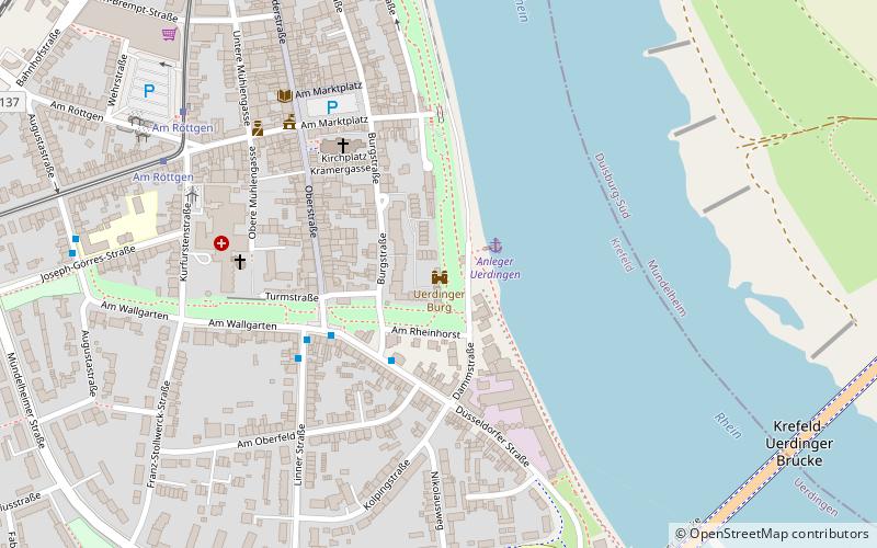
Uerdingen Castle is a castle in the Krefeld district of Uerdingen in North Rhine-Westphalia, Germany.
In the 14th century, the castle was probably built by the Archbishop of Electorate of Cologne, Heinrich III von Virneburg, and together with Linn Castle it represented a strong fortification of the Electorate of Cologne's territory in the north.
In 1839 the castle came into private ownership and was rebuilt into the existing late classicist form.
Coordinates: 51°21'7"N, 6°39'8"E
Address
15 BurgstraßeUerdingen (Uerdingen-Markt)Krefeld
ContactAdd
Social media
Add
Day trips
Uerdinger Burg – popular in the area (distance from the attraction)
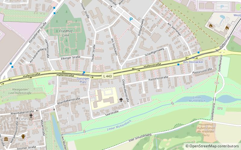
Nearby attractions include: Burg Linn, Wassermühle Linn, Uerdingen, Krefeld-Linn.
Frequently Asked Questions (FAQ)
How to get to Uerdinger Burg by public transport?
The nearest stations to Uerdinger Burg:
Bus
Tram
Train
Bus
- Am Obertor • Lines: 831, 941 (3 min walk)
- Am Wallgarten • Lines: 059, 941 (4 min walk)
Tram
- Am Röttgen • Lines: 043 (7 min walk)
- Mündelheimer Straße • Lines: 043 (11 min walk)
Train
- Krefeld-Uerdingen (12 min walk)
- Krefeld-Linn (36 min walk)


