Westfalenhütte, Dortmund
Map

Map

Facts and practical information
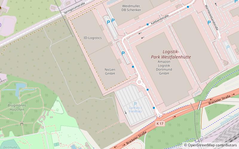
The Westfalenhütte is an industrial site in the northeast of Dortmund, Germany. It was established by the steel company Hoesch AG in 1871. At the peak of the so-called Wirtschaftswunder approximately 25,000 people were working there. Following changes in the steel industry and a consolidation process in the sector, activities on the Westfalenhütte were reduced to a few, economically sustainable core areas. Today more than 1,000 people are working on the site of the Westfalenhütte. ()
Address
Innenstadt-Nord (Westfalenhütte)Dortmund
ContactAdd
Social media
Add
Day trips
Westfalenhütte – popular in the area (distance from the attraction)
Nearby attractions include: Ostwall, Borsigplatz, Hoeschpark, Heilige Dreifaltigkeits Kirche.
Frequently Asked Questions (FAQ)
Which popular attractions are close to Westfalenhütte?
Nearby attractions include Hoeschpark, Dortmund (11 min walk), Heilige Dreifaltigkeits Kirche, Dortmund (18 min walk), Borsigplatz, Dortmund (24 min walk).
How to get to Westfalenhütte by public transport?
The nearest stations to Westfalenhütte:
Bus
Tram
Train
Bus
- Kasseler Straße • Lines: 422, 452, Ne2, Ne22 (17 min walk)
- Alte Straße • Lines: 452 (18 min walk)
Tram
- Westfalenhütte • Lines: U44 (18 min walk)
- Vincenzheim • Lines: U44 (20 min walk)
Train
- Dortmund-Kirchderne (32 min walk)
- Dortmund-Körne (35 min walk)


