St. Georg, Bremen

Gallery (3)
Map
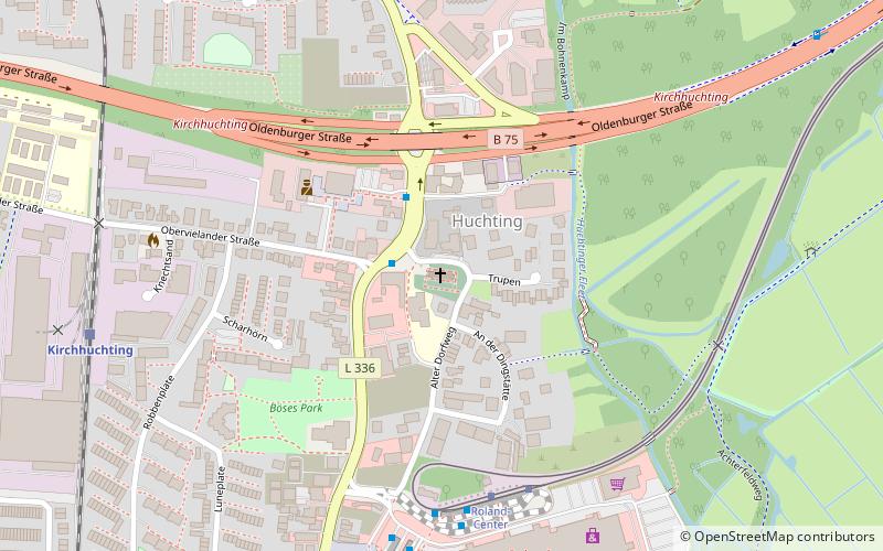
Map
Gallery
Facts and practical information
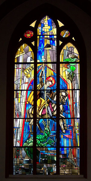
St. George's Church in the Huchting district of Bremen belongs to the Protestant St. George's parish. The neo-Gothic brick building with a west tower and an indented rectangular choir was built in 1877-1879 on the site of a medieval church. Since 1994, the building has been listed as a historical monument.
Architectural style: Gothic revivalCoordinates: 53°3'5"N, 8°44'29"E
Getting there by public transportation
Public transportation stops near this location
- Bus
- Tram
- Train
 Bus
Bus
- Calculate routeObervielander Straße 2 min walk
- Calculate routeRoland Center 5 min walk
- Calculate routeRoland-Center 5 min walk
- Calculate routeCarl-Hurtzig-Straße 7 min walk
- Calculate routeRoland-Center 5 min walk
- Calculate routeNorderländer Straße 23 min walk
- Calculate routeBardenflethstraße 32 min walk
- Calculate routeKirchhuchting 8 min walk
- Calculate routeMoordeich 32 min walk
Day trips


Frequently Asked Questions (FAQ)
How to get to St. Georg by public transport?
The nearest stations to St. Georg:
Bus
Tram
Train
Bus
- Obervielander Straße • Lines: 201, 52, 57, 58, N6 (2 min walk)
- Roland Center • Lines: 57, 58 (5 min walk)
Tram
- Roland-Center • Lines: 1, 8, N1 (5 min walk)
- Norderländer Straße • Lines: 1, 8, N1 (23 min walk)
Train
- Kirchhuchting (8 min walk)
- Moordeich (32 min walk)