KZ Fürstengrube-Todesmarsch, Lübeck
Map

Map

Facts and practical information
The KZ Fürstengrube Death March was a death march of concentration camp inmates as part of the evacuation of the Fürstengrube concentration camp as well as other concentration camp inmates. Lack of food, diseases, exhaustion, maltreatment and murders claimed numerous victims on this death march from January to May 1945 with several stops in between.
The death march was led by the last camp leader, SS-Oberscharführer Max Schmidt.
Coordinates: 53°52'32"N, 10°41'32"E
Address
St. Gertrud (Burgtor - Stadtpark)Lübeck
ContactAdd
Social media
Add
Day trips
KZ Fürstengrube-Todesmarsch – popular in the area (distance from the attraction)
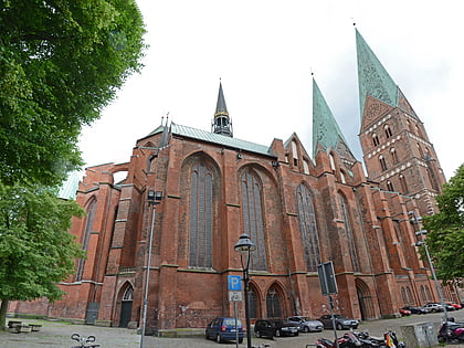
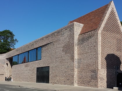
Nearby attractions include: St. Mary's Church, European Hansemuseum, Burgtor, Willy Brandt House.
Frequently Asked Questions (FAQ)
Which popular attractions are close to KZ Fürstengrube-Todesmarsch?
Nearby attractions include Der deutschen Jugend, Lübeck (1 min walk), Ältester Kreuzweg Deutschlands, Lübeck (4 min walk), European Hansemuseum, Lübeck (4 min walk), Kaleidoskop, Lübeck (5 min walk).
How to get to KZ Fürstengrube-Todesmarsch by public transport?
The nearest stations to KZ Fürstengrube-Todesmarsch:
Bus
Ferry
Train
Bus
- Gustav-Radbruch-Platz (2 min walk)
- Hansemuseum • Lines: 3 (5 min walk)
Ferry
- Hansefahrt • Lines: Hansefahrt (7 min walk)
Train
- Lübeck Hauptbahnhof (28 min walk)


