Kaiser-Wilhelm-Brücke, Trier
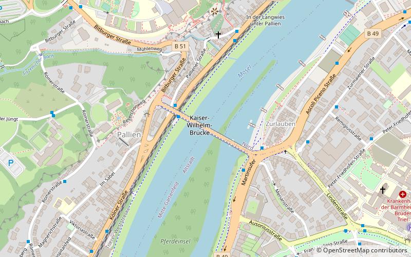
Map

Gallery

Facts and practical information
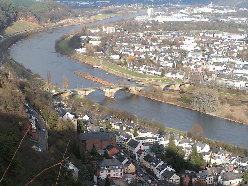
The Kaiser Wilhelm Bridge in the city of Trier bridges the Moselle River.
Coordinates: 49°45'51"N, 6°37'55"E
Day trips
Kaiser-Wilhelm-Brücke – popular in the area (distance from the attraction)
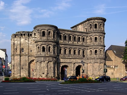
Nearby attractions include: Porta Nigra, High Cathedral of Saint Peter, Liebfrauenkirche, Aula Palatina.
Frequently Asked Questions (FAQ)
Which popular attractions are close to Kaiser-Wilhelm-Brücke?
Nearby attractions include Trier University of Applied Sciences, Trier (8 min walk), St. Martin, Trier (14 min walk), Stadtmuseum Simeonstift, Trier (16 min walk), Porta Nigra, Trier (17 min walk).
How to get to Kaiser-Wilhelm-Brücke by public transport?
The nearest stations to Kaiser-Wilhelm-Brücke:
Bus
Train
Bus
- Pallien , Bonner Straße • Lines: 7, 8, 87 (2 min walk)
- Pallien , Bitburger Straße • Lines: 14, 2, 25, 26, 260, 400, 420, 7, 8, 80, 81, 87 (3 min walk)
Train
- Trier Hbf (27 min walk)


