Humberg, Kaiserslautern
Map

Map

Facts and practical information
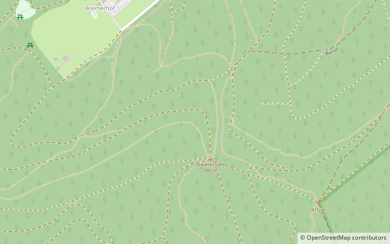
The Humberg is a mountain in the south of Kaiserslautern, Germany, that stands on the border of the Palatinate forest. With a height of 425 meters, it is the highest point in the area of Kaiserslautern. At its peak, the Humberg Tower provides a dramatic view of the area below. ()
Address
Kaiserslautern
ContactAdd
Social media
Add
Day trips
Humberg – popular in the area (distance from the attraction)
Nearby attractions include: Fritz-Walter-Stadion, Pfalztheater, Wildpark Betzenberg, Humberg Tower.
Frequently Asked Questions (FAQ)
How to get to Humberg by public transport?
The nearest stations to Humberg:
Bus
Bus
- Rote Hohl • Lines: 106, 170, N6 (24 min walk)
- Uni Zentral • Lines: 105, 106, 115, 116 (24 min walk)


