Bitburg-Land, Bitburg
Map
Facts and practical information
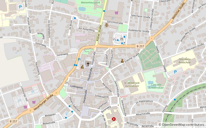
Bitburg-Land is a former Verbandsgemeinde in the district Bitburg-Prüm, in Rhineland-Palatinate, Germany. It was situated around the town Bitburg, which was the seat of the Verbandsgemeinde, but not a part of it. On 1 July 2014 it merged into the new Verbandsgemeinde Bitburger Land. ()
Day trips


Frequently Asked Questions (FAQ)
Which popular attractions are close to Bitburg-Land?
Nearby attractions include Bitburger Brewery, Bitburg (5 min walk), Evangelische Kirche Bitburg, Bitburg (9 min walk).