Hohenburg Homberg, Homberg

Gallery (1)
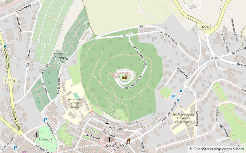
Map
Map
Facts and practical information
Hohenburg Homberg is a place located in Homberg (Hesse state) and belongs to the category of forts and castles.
It is situated at an altitude of 1175 feet, and its geographical coordinates are 51°2'12"N latitude and 9°24'22"E longitude.
Among other places and attractions worth visiting in the area are: St. Mary's Church (church, 6 min walk), Silbersee Bob, Frielendorf (amusement, 119 min walk), Singliser See (nature, 119 min walk).
Coordinates: 51°2'12"N, 9°24'22"E
Address
Homberg
ContactAdd
Social media
Add
Day trips


