Berliner Straße, Frankfurt
Map

Gallery

Facts and practical information
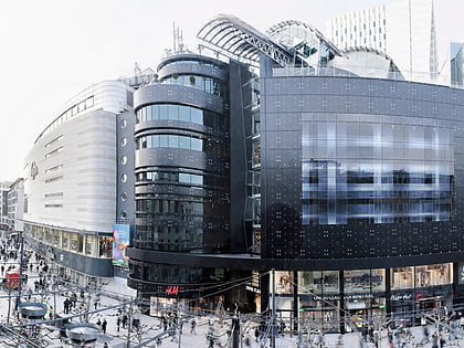
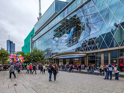
Berliner Straße is a major street in the city centre of Frankfurt am Main. It was built after the Bombing of Frankfurt am Main in World War II along the route of the old Schnurgasse. ()
Day trips
Berliner Straße – popular in the area (distance from the attraction)
Nearby attractions include: Zeil, Zeilgalerie, Caricatura, Frankfurt Cathedral.
Frequently Asked Questions (FAQ)
Which popular attractions are close to Berliner Straße?
Nearby attractions include Paulsplatz, Frankfurt (2 min walk), Innenstadt, Frankfurt (3 min walk), Frankfurter Kunstverein, Frankfurt (3 min walk), Church of Our Lady, Frankfurt (3 min walk).
How to get to Berliner Straße by public transport?
The nearest stations to Berliner Straße:
Bus
Tram
Metro
Train
Bus
- Römer/Paulskirche • Lines: N11, N12, N4, N5 (1 min walk)
- Karmeliterkloster • Lines: N11, N12, N4, N5 (6 min walk)
Tram
- Römer/Paulskirche • Lines: 11, 12, 14, EEx (2 min walk)
- Karmeliterkloster • Lines: 11, 12, 14 (6 min walk)
Metro
- U-Bahn Dom/Römer • Lines: U4, U5 (3 min walk)
- Hauptwache • Lines: U1, U2, U3, U6, U7, U8 (6 min walk)
Train
- Frankfurt Eiserner Steg (5 min walk)
- Hauptwache (6 min walk)


