Oder–Havel Canal, Schorfheide-Chorin Biosphere Reserve
Map

Map

Facts and practical information
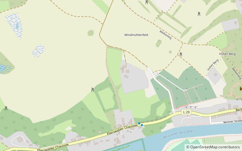
The Oder–Havel Canal is a German canal built between 1908 and 1914, originally known as the Hohenzollern Canal, mostly replacing the Finow Canal. Together with Hohensaaten-Friedrichsthaler Wasserstraße, the Oderhaltung and the Schwedter Querfahrt it forms the Havel-Oder-Wasserstraße. It runs from the town of Cedynia near the city of Szczecin on the Oder River between Germany and Poland to the Havel, a tributary of the Elbe, near Berlin. It is 82.8 kilometres long, and 33 metres wide. ()
Address
Schorfheide-Chorin Biosphere Reserve
ContactAdd
Social media
Add
Day trips
Oder–Havel Canal – popular in the area (distance from the attraction)
Nearby attractions include: Bärenkasten, Kleiner Rummelsberg, Parsteiner See, Oderlandmuseum.
Frequently Asked Questions (FAQ)
Which popular attractions are close to Oder–Havel Canal?
Nearby attractions include Bärenkasten, Schorfheide-Chorin Biosphere Reserve (11 min walk), Oderberg Inland Navigation Museum, Schorfheide-Chorin Biosphere Reserve (16 min walk).
How to get to Oder–Havel Canal by public transport?
The nearest stations to Oder–Havel Canal:
Bus
Bus
- Stadtmitte • Lines: 463 (13 min walk)
- Oderberg, Odertalstadion • Lines: 874 (15 min walk)


