Töpfers Mühle, Peine

Gallery (1)
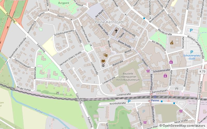
Map
Map
Facts and practical information
Töpfers Mühle is a place located in Peine (Lower Saxony state) and belongs to the category of windmill.
It is situated at an altitude of 226 feet, and its geographical coordinates are 52°19'14"N latitude and 10°13'35"E longitude.
Among other places and attractions worth visiting in the area are: Sankt-Jakobi-Kirche (church, 4 min walk).
Coordinates: 52°19'14"N, 10°13'35"E
Day trips
Töpfers Mühle – popular in the area (distance from the attraction)
Nearby attractions include: Sankt-Jakobi-Kirche.
