Ruckenkreuz, Blaubeuren
Map

Map

Facts and practical information
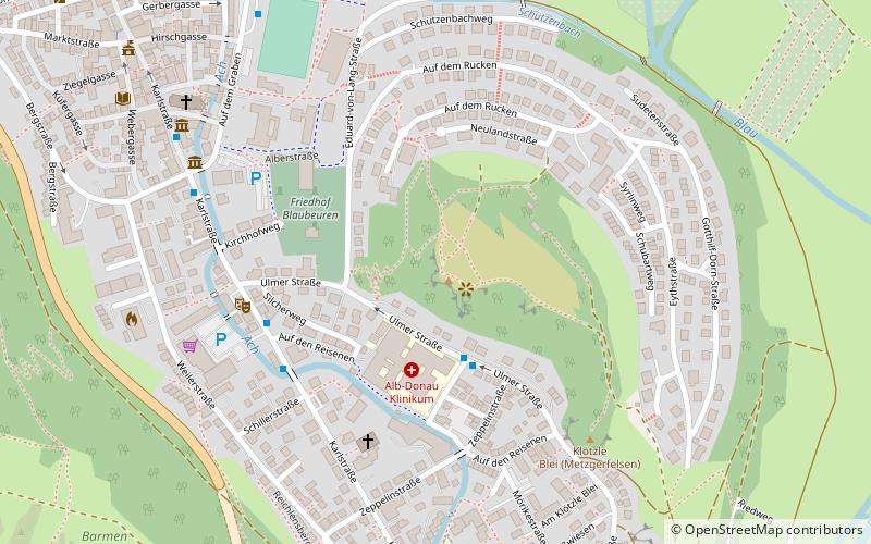
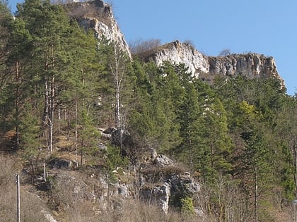
The Ruckenkreuz is an 8.4 metre tall, 2.80 metre wide memorial cross of reinforced concrete. It stands on a rocky mountain at Blaubeuren, Baden-Württemberg, Germany, in memory of the inhabitants of Blaubeuren killed in World War I. The Ruckenkreuz was completed on November 21, 1926. ()
Local name: Blaubeuren#Kultur und SehenswürdigkeitenCoordinates: 48°24'35"N, 9°47'24"E
Day trips
Ruckenkreuz – popular in the area (distance from the attraction)
Nearby attractions include: Blautopf, Küssende Sau, Geißenklösterle, Brillenhöhle.
Frequently Asked Questions (FAQ)
Which popular attractions are close to Ruckenkreuz?
Nearby attractions include Kloster, Blaubeuren (12 min walk), Blautopf, Blaubeuren (13 min walk), Blautopf, Blaubeuren (14 min walk), Brillenhöhle, Blaubeuren (17 min walk).


