Felsennest, Bad Münstereifel
Map
Facts and practical information
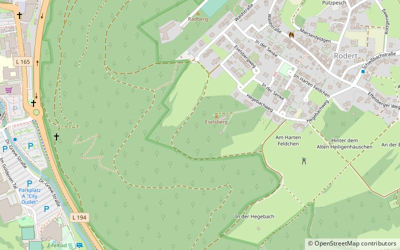
At the start of the Western European campaign of 1940, the Felsennest was the codename for one of Hitler's Führer Headquarters near Bad Münstereifel, Germany. It was much more cramped than Adolf Hitler's other field bunkers, having only four rooms. Hitler was at the Felsennest in the autumn of 1939, because there were plans to invade France and the Low Countries. He was there again on May 10, 1940 when the invasion took place. ()
Address
Bad Münstereifel
ContactAdd
Social media
Add
Getting there by public transportation
Public transportation stops near this location
- Bus
- Train
 Bus
Bus
- Calculate routeEifelbad 9 min walk
- Calculate routeBusbahnhof Bad Münstereifel 19 min walk
- Calculate routeBad Münstereifel Bf 22 min walk
- Calculate routeBad Münstereifel 20 min walk
Day trips


Frequently Asked Questions (FAQ)
Which popular attractions are close to Felsennest?
Nearby attractions include St. Donatus, Bad Münstereifel (13 min walk), Pharmacy Museum, Bad Münstereifel (14 min walk), Stiftskirche St. Chrysanthus u. Daria, Bad Münstereifel (15 min walk), Jewish Cemetery, Bad Münstereifel (16 min walk).
How to get to Felsennest by public transport?
The nearest stations to Felsennest:
Bus
Train
Bus
- Eifelbad • Lines: 819 (9 min walk)
- Busbahnhof Bad Münstereifel (19 min walk)
Train
- Bad Münstereifel (20 min walk)