Rodenkirchen, Cologne
Map

Gallery

Facts and practical information
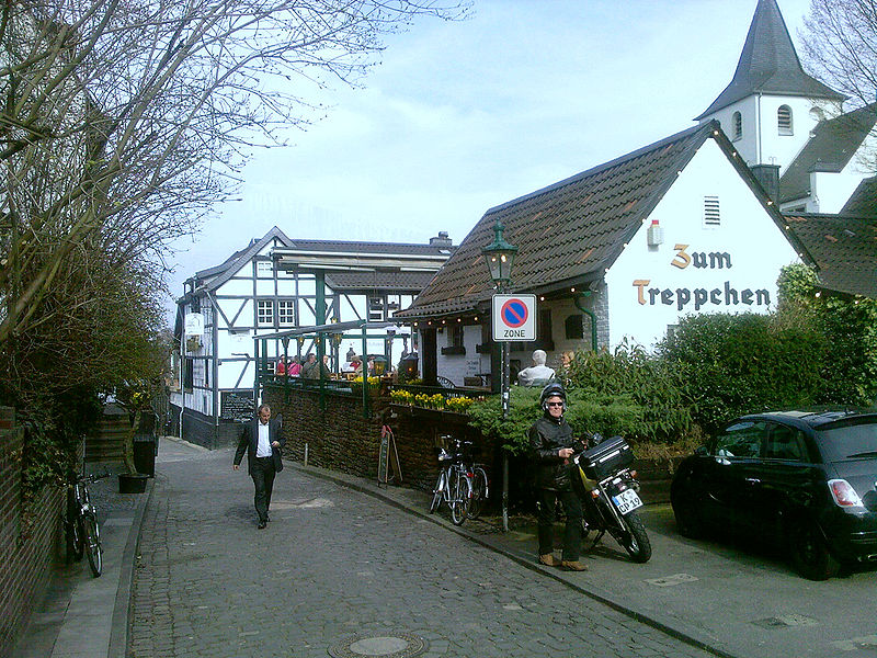
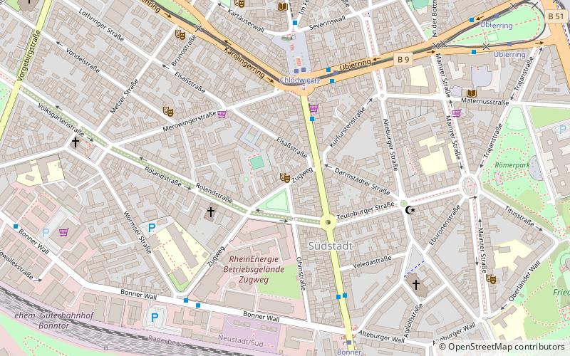
Rodenkirchen is a southern borough of Cologne in Germany. It has about 110,000 inhabitants and covers an area of 54.55 square kilometres. The borough includes the quarters Bayenthal, Godorf, Hahnwald, Immendorf, Marienburg, Meschenich, Raderberg, Raderthal, Rodenkirchen, Sürth, Rondorf, Weiß and Zollstock. ()
Address
RodenkirchenCologne
ContactAdd
Social media
Add
Day trips
Rodenkirchen – popular in the area (distance from the attraction)
Nearby attractions include: Freies Werkstatt Theater, Südbrücke, Cologne Rodenkirchen Bridge, Forstbotanischer Garten Köln.
Frequently Asked Questions (FAQ)
Which popular attractions are close to Rodenkirchen?
Nearby attractions include Cologne Rodenkirchen Bridge, Cologne (13 min walk), Kölner Festungsmuseum, Cologne (17 min walk), Forstbotanischer Garten Köln, Cologne (21 min walk).
How to get to Rodenkirchen by public transport?
The nearest stations to Rodenkirchen:
Bus
Tram
Bus
- Maternusplatz • Lines: 131, 134, 135 (2 min walk)
- Rodenkirchen Bahnhof • Lines: 131 (6 min walk)
Tram
- Rodenkirchen Bahnhof • Lines: 16, 17 (7 min walk)
- Heinrich-Lübke-Ufer • Lines: 16, 17 (17 min walk)


