Ringstraße, Wiesbaden
Map
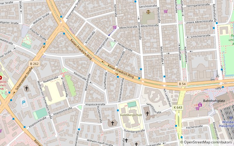
Map

Facts and practical information
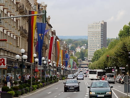
The Ringstraße is a semi-circular, some 3 km long urban boulevard in the centre of Wiesbaden and the city's busiest and most prominent street system. The Ringstraße is a four up to six lane street and part of Bundesstraße 54. It encircles the old town of Wiesbaden on its southern and western boundaries. ()
Address
Südost (Dichterviertel)Wiesbaden
ContactAdd
Social media
Add
Day trips
Ringstraße – popular in the area (distance from the attraction)
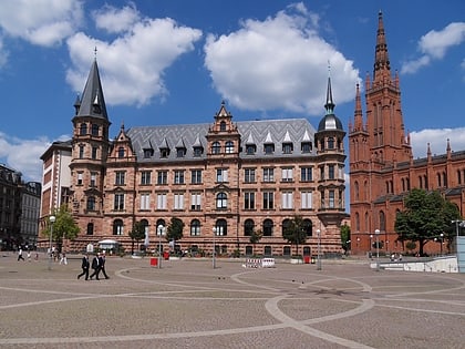
Nearby attractions include: Wilhelmstraße, Kirchgasse, Wiesbaden City Palace, Market Church.
Frequently Asked Questions (FAQ)
Which popular attractions are close to Ringstraße?
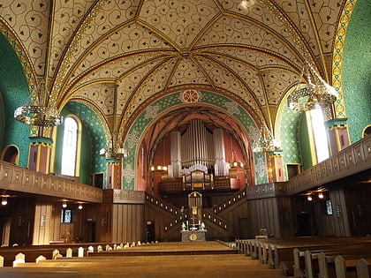
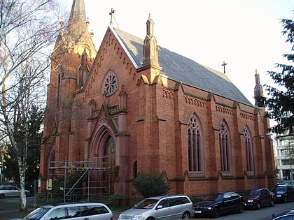
Nearby attractions include Luther Church, Wiesbaden (5 min walk), Trinity Church, Wiesbaden (5 min walk), Schiersteiner Straße, Wiesbaden (10 min walk), Hessian State Library, Wiesbaden (11 min walk).
How to get to Ringstraße by public transport?
The nearest stations to Ringstraße:
Bus
Train
Bus
- Scheffelstraße • Lines: 1, 37, 49, 8 (2 min walk)
- Landeshaus • Lines: 16, 171, 22, 225, 240, 245, 262, 269, 270, 271, 273, 274, 275, 28, 3, 33, 34, 6, N10, N7, X26, X72, X76 (3 min walk)
Train
- Wiesbaden Hauptbahnhof (11 min walk)
- Waldstraße (21 min walk)

