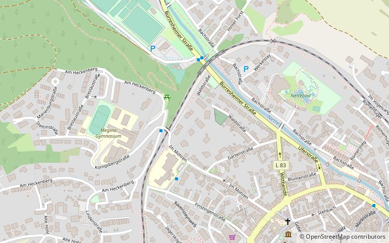
Vordereifel, Mayen
#3 among attractions in Mayen
![Vordereifel location map](https://tzmedia.b-cdn.net/media/images/static-maps/de/50_3333_7_21667.jpg)
Facts and practical information
Vordereifel – popular in the area (distance from the attraction)
Nearby attractions include: Maria Laach Abbey, Laacher See, Genovevaburg, Hochsimmer.
5.1 miNBenedictine abbey with medieval muralsMaria Laach Abbey, Glees
131 min walk • Maria Laach Abbey is a Benedictine abbey situated on the southwestern shore of the Laacher See, near Andernach, in the Eifel region of the Rhineland-Palatinate in Germany. It is a member of the Beuronese Congregation within the Benedictine Confederation.
6 miNELake, Nature, Natural attractionLaacher See
153 min walk • Nestled in the picturesque landscape of the Eifel region in Germany, Laacher See is a stunning volcanic lake that offers a unique glimpse into the country's geological past. Formed by a massive eruption around 12,900 years ago, this caldera lake is the largest in the...
0.5 miSEForts and castles, Gothic architectureGenovevaburg, Mayen
13 min walk • Genovevaburg is a castle standing on the southwestern side of Mayen in the German state of Rhineland-Palatinate. The castle is the symbol of Mayen and has been rebuilt several times since first being destroyed in 1689.
2 miNNature, Natural attraction, MountainHochsimmer
52 min walk • The Hochsimmer is a volcanic cone, 587.9 m above sea level, in the Eifel Mountains in Germany. It rises near Ettringen in the Rhineland-Palatine county of Mayen-Koblenz. At the summit is an observation tower, the Hochsimmer Tower.
4.1 miNESpecialty museum, MuseumLava-Dome, Mendig
106 min walk • The Lava Dome - German Volcano Museum Mendig is a museum in Mendig, which opened on July 30, 2005 and presents volcanism in the region around the Laacher See volcano. The museum is one of the central facilities of the Volcano Park, which covers the...
4.4 miNTowerGoose Neck Tower
113 min walk • Goose Neck Tower is an 87-metre concrete radio tower near Bell and Mendig in Western Germany. Built in 1976, it serves as an internal radio relay link for German electric and natural gas public utility company RWE.
2.6 miNNature, Natural attraction, MountainHochstein
68 min walk • The Hochstein is a volcanic cone, 563 m above sea level, in the Eifel near Obermendig in the German state of Rhineland-Palatinate and county of Mayen-Koblenz.
3.4 miSWChurchPfarrkirche Heiligste Dreifaltigkeit, Monreal
88 min walk • The Holy Trinity Roman Catholic parish church in Monreal, a local community in the Mayen-Koblenz district of Rhineland-Palatinate, is built in the Gothic style and has numerous original furnishings.
3.4 miSWForts and castlesLöwenburg, Monreal
86 min walk • On a hill spur above the Eifel village of Monreal in Germany's Elzbach valley, at a height of 350 m above sea level, stand two neighbouring ruined hill castles: the Löwenburg, also called Monreal Castle, and the Philippsburg. The latter is also known locally as das Rech.
2.1 miNWForts and castlesSchloss Bürresheim, Mayen
55 min walk • Bürresheim Castle is a medieval castle northwest of Mayen, Rheinland-Pfalz, Germany. It is built on rock in the Eifel mountains above the Nette. Bürresheim Castle, Eltz Castle and Lissingen Castle are the only castles on the left bank of the Rhine in Rhineland-Palatinate which have never been destroyed.
5.3 miSWatermillKolliger Mühle
135 min walk • The Kolliger Mühle is a watermill in Kollig, in the German Eifel region, 30 km. west of Koblenz and 13 k. from the river Moselle. The water wheel of the Kolliger Mühle is driven by the water of a small river, the Elzbach, also called the Elz. It is one of a great number of watermills in the Eifel region.