St.-Korbinian-Kapelle, Markt Schwaben

Gallery (1)
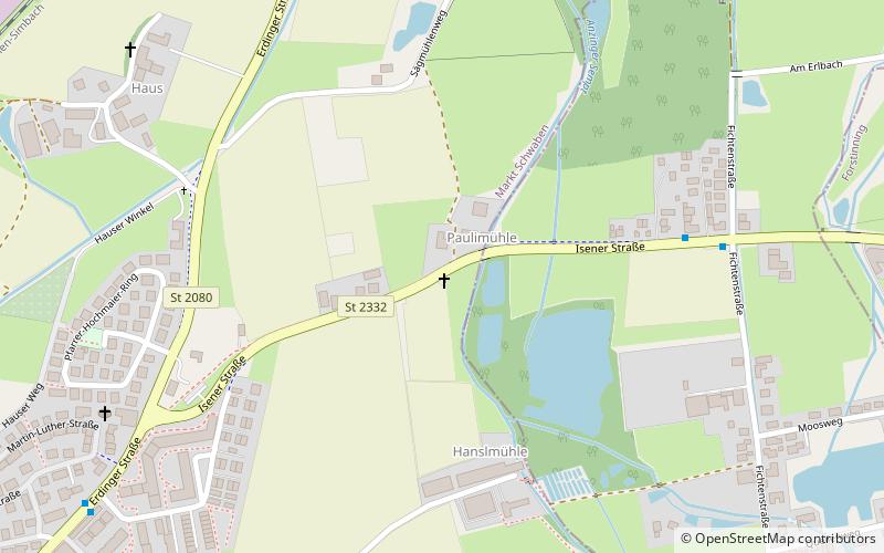
Map
Map
Facts and practical information
St.-Korbinian-Kapelle is a place located in Markt Schwaben (Bavaria ) and belongs to the category of church.
It is situated at an altitude of 1624 feet, and its geographical coordinates are 48°11'50"N latitude and 11°52'50"E longitude.
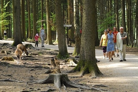
Among other places and attractions worth visiting in the area are: St. Margaret (church, 18 min walk), Schloß Schwaben (forts and castles, 18 min walk), Wildpark, Poing (theme park, 68 min walk).
Coordinates: 48°11'50"N, 11°52'50"E
Address
Markt Schwaben
ContactAdd
Social media
Add
Day trips


Frequently Asked Questions (FAQ)
Which popular attractions are close to St.-Korbinian-Kapelle?
Nearby attractions include St. Margaret, Markt Schwaben (18 min walk), Schloß Schwaben, Markt Schwaben (18 min walk).