St. Teresa Kirche, Heidelberg
Map

Map

Facts and practical information
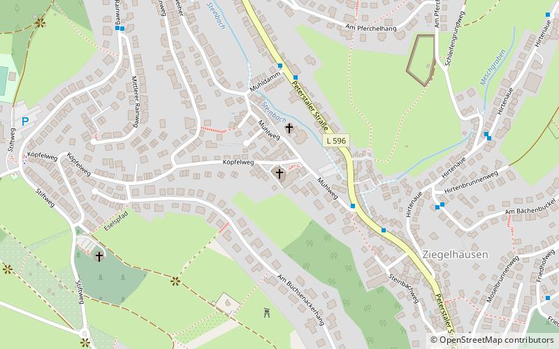
St. Teresa is the Catholic parish church of the Heidelberg district of Ziegelhausen, built in 1995-1997 to replace the old Laurentiuskirche. It is dedicated to St. Teresa of Ávila.
Coordinates: 49°25'24"N, 8°45'5"E
Address
11 MühlwegHeidelberg
ContactAdd
Social media
Add
Day trips
St. Teresa Kirche – popular in the area (distance from the attraction)
Nearby attractions include: Stift Neuburg, Heidelberg-Ziegelhausen, Carl Bosch Museum, Gutleuthofkapelle.
Frequently Asked Questions (FAQ)
Which popular attractions are close to St. Teresa Kirche?
Nearby attractions include Heidelberg-Ziegelhausen, Heidelberg (7 min walk), Stift Neuburg, Heidelberg (15 min walk), Gutleuthofkapelle, Heidelberg (19 min walk).
How to get to St. Teresa Kirche by public transport?
The nearest stations to St. Teresa Kirche:
Bus
Train
Bus
- Steinbacher Tal • Lines: 34, 37, E, J, M4 (4 min walk)
- Mühldamm • Lines: 34, 37, E, J, M4 (4 min walk)
Train
- Heidelberg-Schlierbach/Ziegelhausen (18 min walk)
- Heidelberg Orthopädie (36 min walk)


