Max Nacke, Altenberg

Gallery (1)
Map
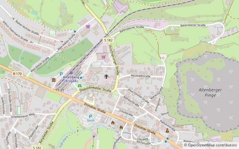
Map
Facts and practical information
Max Nacke is a place located in Altenberg (Saxony state) and belongs to the category of memorial.
It is situated at an altitude of 2497 feet, and its geographical coordinates are 50°45'59"N latitude and 13°45'27"E longitude.
Among other places and attractions worth visiting in the area are: Geisingberg (nature, 20 min walk), Kahleberg (nature, 43 min walk), Bobbahn (sport, 48 min walk).
Coordinates: 50°45'59"N, 13°45'27"E
Address
Altenberg
ContactAdd
Social media
Add
Day trips