Wassermühle, Munster

Gallery (1)
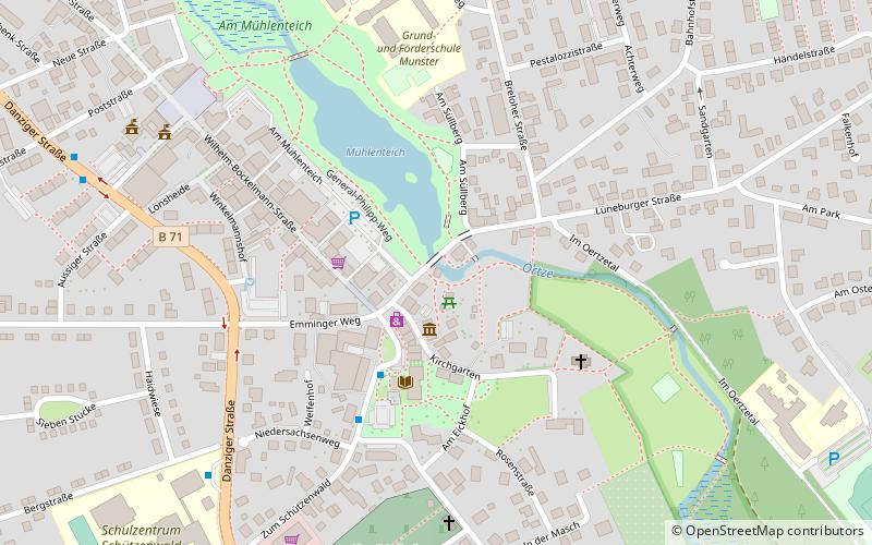
Map
Map
Facts and practical information
Wassermühle is a place located in Munster (Lower Saxony state) and belongs to the category of watermill.
It is situated at an altitude of 243 feet, and its geographical coordinates are 52°59'9"N latitude and 10°5'28"E longitude.
Among other places and attractions worth visiting in the area are: Ollershof (historical place, 2 min walk), German Tank Museum (specialty museum, 20 min walk), Wietzendorf (locality, 167 min walk).
Coordinates: 52°59'9"N, 10°5'28"E
Address
Munster
ContactAdd
Social media
Add
Day trips


Frequently Asked Questions (FAQ)
Which popular attractions are close to Wassermühle?
Nearby attractions include Ollershof, Munster (2 min walk), German Tank Museum, Munster (20 min walk).