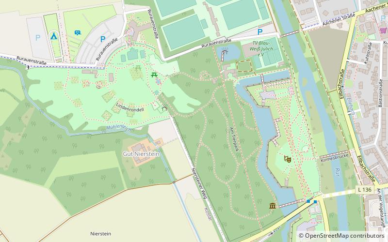
Brückenkopf Park, Jülich
Map

Map

Facts and practical information
The bridgehead in Jülich, Rhineland, is a fortification from the Napoleonic period, built at the beginning of the 19th century to protect the city from the west. It was included in the totality of the works of the Jülich fortress.
Elevation: 262 ft a.s.l.Coordinates: 50°55'18"N, 6°20'44"E
Day trips
Brückenkopf Park – popular in the area (distance from the attraction)
Nearby attractions include: Blausteinsee, LVR-Cultural Centre Village Synagogue Rödingen, Sophienhöhe, Glasmalereimuseum.
Frequently Asked Questions (FAQ)
Which popular attractions are close to Brückenkopf Park?
Nearby attractions include Sankt Mariä Himmelfahrt, Jülich (15 min walk), Zitadelle Jülich, Jülich (17 min walk).


