Wieselhaus, Augsburg
Map
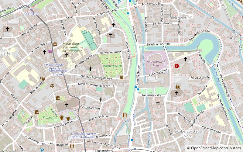
Map

Facts and practical information
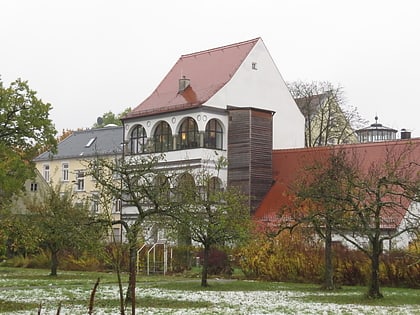
The Wieselhaus in Augsburg's cathedral district was built in the 16th/17th century. The former town house at Äußes Pfaffengässchen 23 is a protected architectural monument.
Coordinates: 48°22'27"N, 10°54'1"E
Address
23 Äußeres PfaffengäßchenInnenstadt (Bleich und Pfärrle)Augsburg
Contact
Social media
Add
Day trips
Wieselhaus – popular in the area (distance from the attraction)
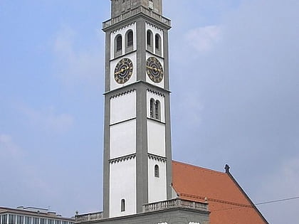
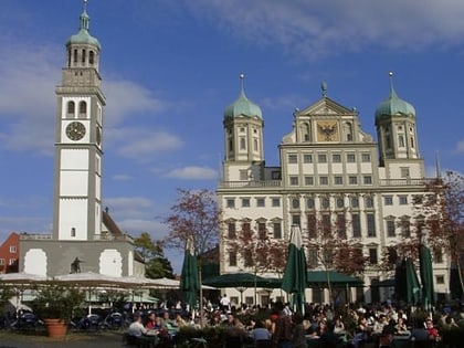
Nearby attractions include: Fuggerei, Augsburg Cathedral, Curt-Frenzel-Stadion, City Hall.
Frequently Asked Questions (FAQ)
Which popular attractions are close to Wieselhaus?
Nearby attractions include St. Stephen's Abbey, Augsburg (3 min walk), Augsburg Cathedral, Augsburg (6 min walk), Diözesanmuseum St. Afra, Augsburg (6 min walk), Mozarthaus, Augsburg (7 min walk).
How to get to Wieselhaus by public transport?
The nearest stations to Wieselhaus:
Bus
Tram
Train
Bus
- Klinik Vincentinum • Lines: 35, 44 (2 min walk)
- Mozarthaus/Kolping • Lines: 91, 95 (6 min walk)
Tram
- Mozarthaus/Kolping • Lines: 2 (6 min walk)
- Dom/Stadtwerke • Lines: 2 (6 min walk)
Train
- Augsburg Hauptbahnhof (23 min walk)
