Westpreußisches Landesmuseum, Warendorf

Gallery (1)
Map
Map
Facts and practical information
The West Prussian State Museum was opened in 1975 in the historic Drostenhof in Münster-Wolbeck. Since the end of 2014, the museum has been located in the Franciscan monastery in Warendorf.
Coordinates: 51°57'5"N, 7°59'44"E
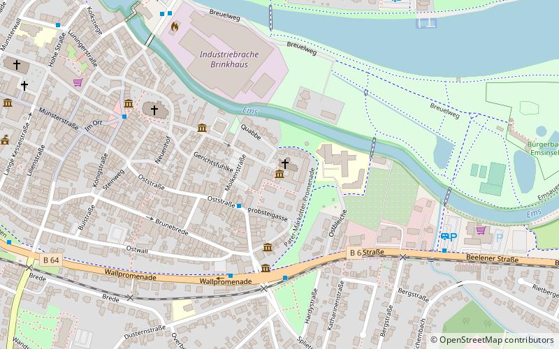
Address
Klosterstraße 21Warendorf
ContactAdd
Social media
Add
Day trips

