Nikolaifleet, Hamburg
Map

Gallery

Facts and practical information
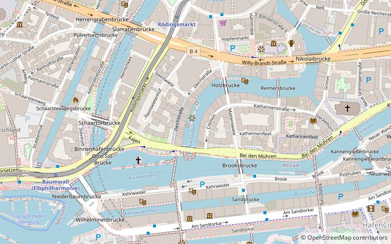
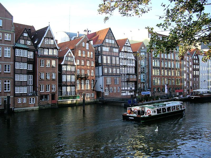
Nikolaifleet is a canal in the Altstadt of Hamburg, which was the original branch of the Alster estuary. It separates the Cremon island from the mainland. First mentioned in 1188, the Nikolaifleet is considered one of the oldest parts of the Port of Hamburg. ()
Address
Hamburg-Mitte (Hamburg-Altstadt)Hamburg
ContactAdd
Social media
Add
Day trips
Nikolaifleet – popular in the area (distance from the attraction)
Nearby attractions include: Neuer Wall, Hauptkirche St. Michaelis, City Hall, Speicherstadt.
Frequently Asked Questions (FAQ)
Which popular attractions are close to Nikolaifleet?
Nearby attractions include Deichstraße, Hamburg (1 min walk), Speicherstadt, Hamburg (3 min walk), Das Schiff, Hamburg (4 min walk), Flussschifferkirche, Hamburg (4 min walk).
How to get to Nikolaifleet by public transport?
The nearest stations to Nikolaifleet:
Bus
Metro
Light rail
Ferry
Train
Bus
- Auf dem Sande • Lines: 6, 602 (4 min walk)
- Am Kaiserkai • Lines: 111, 2 (6 min walk)
Metro
- Rödingsmarkt • Lines: U3 (5 min walk)
- Baumwall • Lines: U3 (7 min walk)
Light rail
- Stadthausbrücke • Lines: S1, S2, S3 (8 min walk)
- Jungfernstieg • Lines: S1, S2, S3 (14 min walk)
Ferry
- Jungfernstieg • Lines: Alsterkreuzfahrt (15 min walk)
- St. Pauli-Landungsbrücken • Lines: FRS HanseFerry (25 min walk)
Train
- Hamburg Central Station (24 min walk)
- Hamburg Dammtor / Universität (28 min walk)


