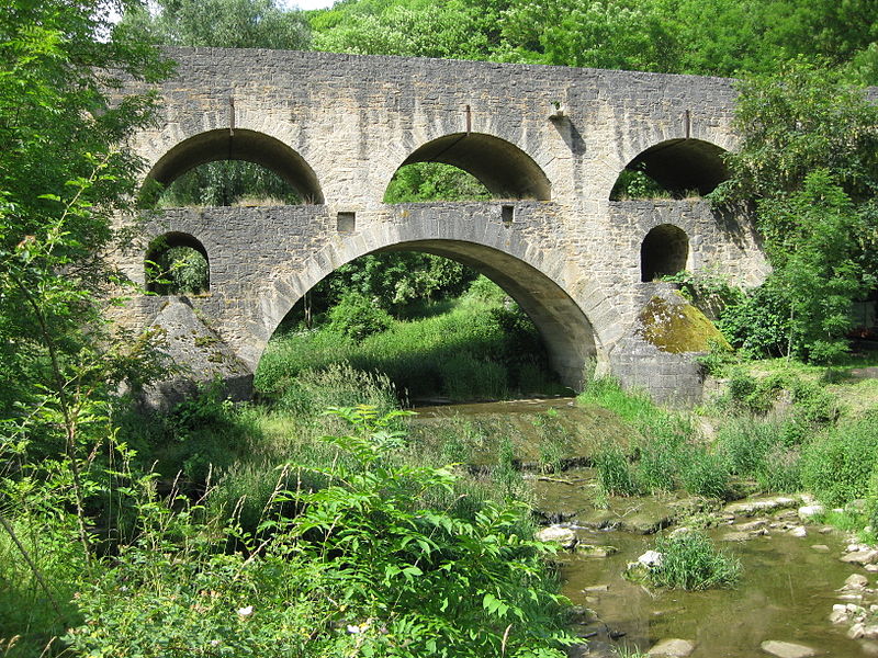
Tauber Bridge, Rothenburg ob der Tauber

Gallery (2)
Map
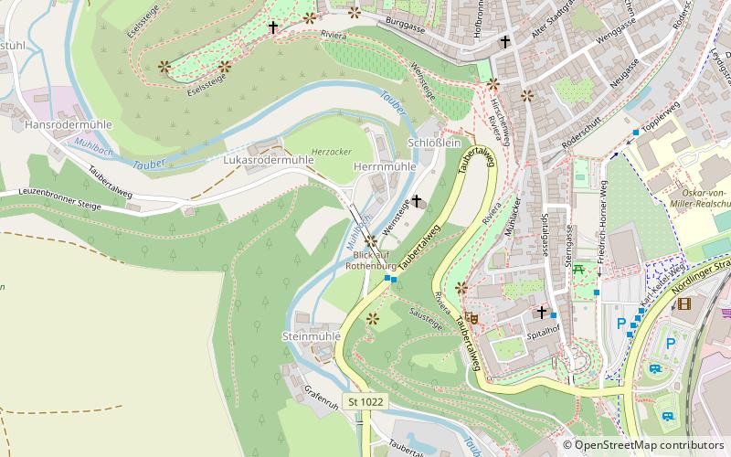
Map
Gallery
Facts and practical information
The Tauber Bridge at Rothenburg ob der Tauber is an historic road bridge that spans the Tauber Valley west of the town centre of the Middle Franconian town of Rothenburg ob der Tauber in Bavaria. The structure carries a local link road to Leuzenbronn and the Tauber Valley Way and has a 4.0 metre wide roadway and a 1.0 metre wide footpath. ()
Getting there by public transportation
Public transportation stops near this location
- Bus
- Train
 Bus
Bus
- Calculate routeDoppelbrücke 2 min walk
- Calculate routeSpitalgasse 6 min walk
- Calculate routeP1 Friedrich-Hörner-Weg 8 min walk
- Calculate routeRothenburg ob der Tauber 18 min walk
Day trips
Tauber Bridge – popular in the area (distance from the attraction)
Nearby attractions include: St. James's Church, Käthe Wohlfahrt, Church of Sts. Peter and Paul, Franciscan Church.


Frequently Asked Questions (FAQ)
Which popular attractions are close to Tauber Bridge?
Nearby attractions include Das Plönlein, Rothenburg ob der Tauber (6 min walk), Mittelalterliches Kriminalmuseum, Rothenburg ob der Tauber (7 min walk), Franciscan Church, Rothenburg ob der Tauber (7 min walk), Deutsches Weihnachtsmuseum, Rothenburg ob der Tauber (8 min walk).
How to get to Tauber Bridge by public transport?
The nearest stations to Tauber Bridge:
Bus
Train
Bus
- Doppelbrücke • Lines: 101 (2 min walk)
- Spitalgasse • Lines: 851 (6 min walk)
Train
- Rothenburg ob der Tauber (18 min walk)