Theodor Heuss Bridge, Wiesbaden
Map

Gallery

Facts and practical information
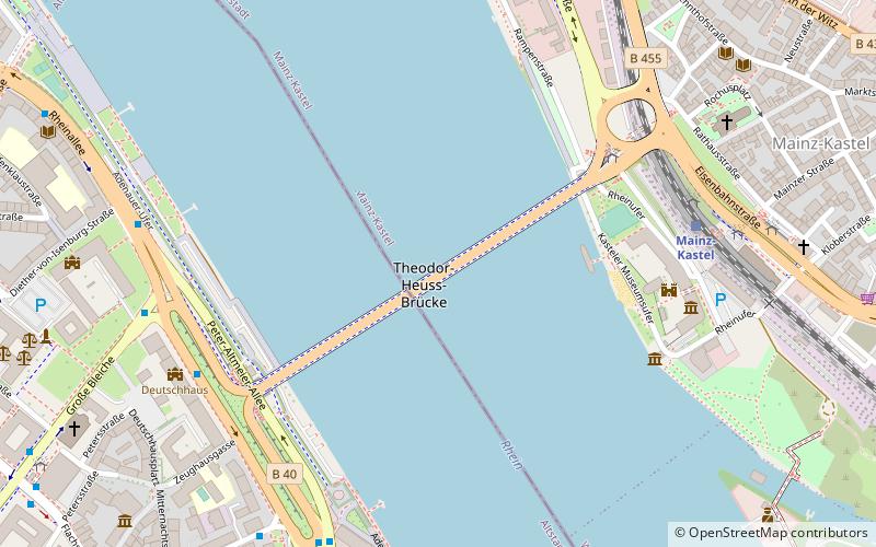
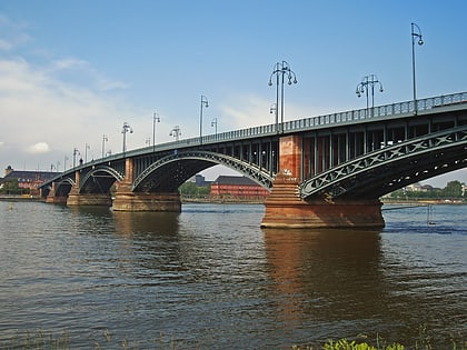
The Theodor Heuss Bridge is an arch bridge over the Rhine River connecting the Mainz-Kastel district of Wiesbaden, capital of state Hesse and the Rhineland-Palatinate state capital Mainz. The main span of the bridge is 102.94 meters long. It connects the Bundesstraßes 40 and 455. Initially it was just called “Straßenbrücke”, later it was named after German statesman Theodor Heuss. ()
Address
Kastel (Kasteler Rheinufer)Wiesbaden
ContactAdd
Social media
Add
Day trips
Theodor Heuss Bridge – popular in the area (distance from the attraction)
Nearby attractions include: Mainz Cathedral, Deutschhaus, Liebfrauenplatz, Kurfürstliches Schloss.
Frequently Asked Questions (FAQ)
Which popular attractions are close to Theodor Heuss Bridge?
Nearby attractions include Deutschhaus, Mainz (7 min walk), Martinsburg, Mainz (7 min walk), Jupiter Column, Mainz (8 min walk), Kurfürstliches Schloss, Mainz (8 min walk).
How to get to Theodor Heuss Bridge by public transport?
The nearest stations to Theodor Heuss Bridge:
Bus
Train
Tram
Bus
- Kastel/Brückenkopf • Lines: 28, 54, 55, 56, 57, 58, 6, 68, 9, 91 (5 min walk)
- Landtag A • Lines: 28, 54, 55, 56, 57, 58, 6, 68, 70, 71, 9, 91 (6 min walk)
Train
- Mainz-Kastel (6 min walk)
- Mainz Hbf (23 min walk)
Tram
- Schillerplatz • Lines: 50, 52, 53 (19 min walk)
- Münsterplatz • Lines: 50, 52, 53 (19 min walk)


