Unter den Linden, Berlin
Map
Gallery
Facts and practical information
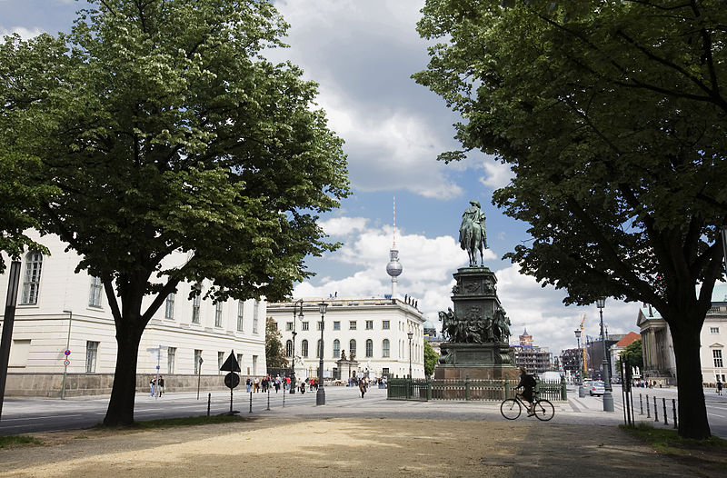
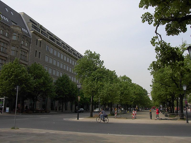
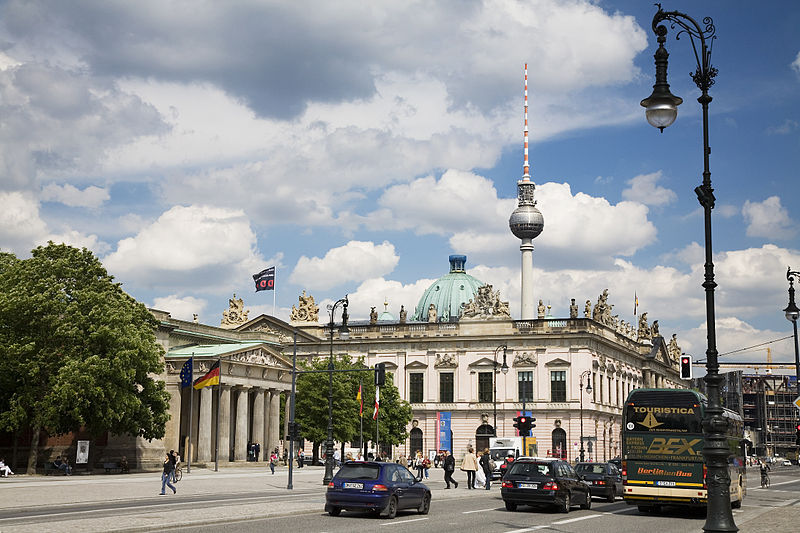
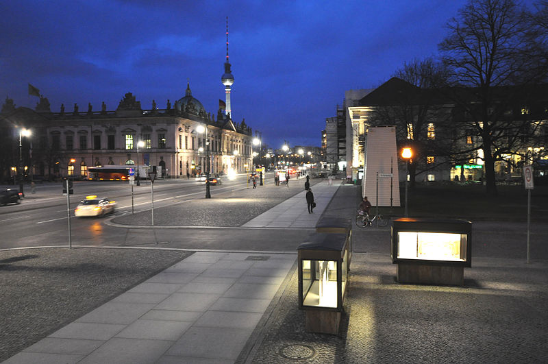
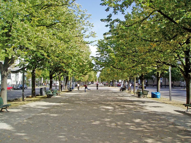
Unter den Linden is a boulevard in the central Mitte district of Berlin, the capital of Germany. Running from the City Palace to Brandenburg Gate, it is named after the linden trees that line the grassed pedestrian mall on the median and the two broad carriageways. The avenue links numerous Berlin sights, landmarks and rivers for sightseeing. ()
Address
MitteBerlin
ContactAdd
Social media
Add
Day trips
Unter den Linden – popular in the area (distance from the attraction)
Nearby attractions include: Brandenburg Gate, Friedrichstraße, Memorial to the Murdered Jews of Europe, Pariser Platz.
Frequently Asked Questions (FAQ)
Which popular attractions are close to Unter den Linden?
Nearby attractions include Brandenburg Gate, Berlin (2 min walk), Pariser Platz, Berlin (3 min walk), Academy of Arts, Berlin (3 min walk), The Kennedys Museum, Berlin (3 min walk).
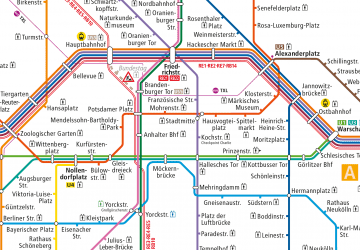
How to get to Unter den Linden by public transport?
The nearest stations to Unter den Linden:
Metro
Train
Tram
Metro
- U Brandenburger Tor • Lines: U5 (1 min walk)
- U Unter den Linden • Lines: U5, U6 (9 min walk)
Train
- Berlin Friedrichstraße (9 min walk)
- Berlin Potsdamer Platz (15 min walk)
Tram
- S+U Friedrichstraße • Lines: 12, M1 (10 min walk)
- Universitätsstraße • Lines: 12, M1 (13 min walk)



 Metro
Metro


