Druselturm, Kassel
Map

Gallery

Facts and practical information
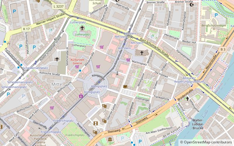
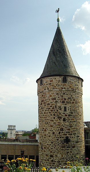
The Druselturm is a remnant of Kassel's former city fortifications, which were demolished between 1767 and 1774. The 44-meter-high round tower stands in the city center on Druselplatz, part of Hedwigstraße. It is one of the few preserved medieval structures in Kassel. The course of the former city wall is marked by colored paving along Hedwigstraße. Along with the Zwehrenturm, it is the last tower of Kassel's city fortifications.
Coordinates: 51°18'59"N, 9°29'58"E
Address
Kassel Ost (Mitte)Kassel
ContactAdd
Social media
Add
Day trips
Druselturm – popular in the area (distance from the attraction)
Nearby attractions include: Ottoneum, Auestadion, Orangerie, Bellevue Palace.
Frequently Asked Questions (FAQ)
Which popular attractions are close to Druselturm?
Nearby attractions include St Martin's Church, Kassel (3 min walk), Luther Church, Kassel (5 min walk), Fridericianum, Kassel (6 min walk), Ottoneum, Kassel (6 min walk).
How to get to Druselturm by public transport?
The nearest stations to Druselturm:
Tram
Bus
Train
Tram
- Königsplatz • Lines: 1, 3, 4, 5, 6, 7, 8, Rt1, Rt4 (2 min walk)
- Am Stern • Lines: 1, 3, 4, 5, 6, 7, 8, Rt1, Rt4 (4 min walk)
Bus
- Am Stern • Lines: 10, 100, 16, 17, 32, 37, 52 (4 min walk)
- Altmarkt/Regierungspräsidium • Lines: 10, 16, 17, 32, 33, 37 (6 min walk)
Train
- Kassel Hauptbahnhof (12 min walk)


