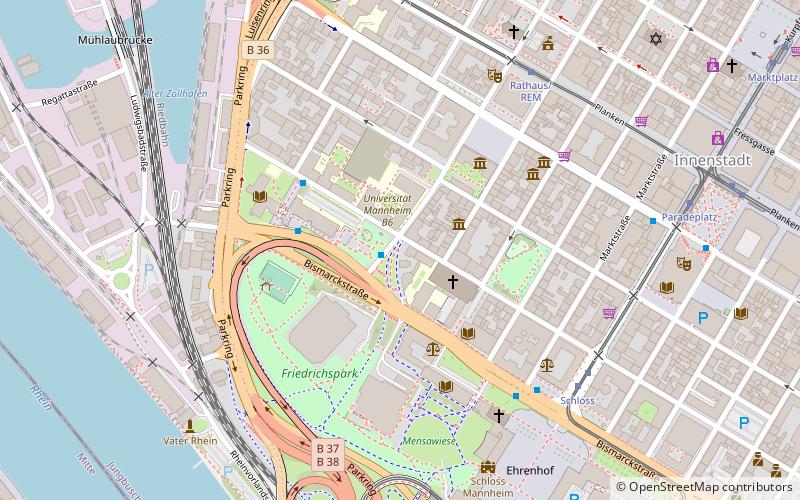
Sternwarte A4, Mannheim
Map

Map

Facts and practical information
The Mannheim Observatory was a tower observatory built between 1772 and 1774 in Mannheim, Germany, which remained in operation until 1880. The observatory was transferred to Karlsruhe and finally in 1898, was established on the Königstuhl near Heidelberg where today's successor institution the State Observatory Heidelberg-Königstuhl is located. ()
Address
Innenstadt - JungbuschMannheim
ContactAdd
Social media
Add
Day trips
Sternwarte A4 – popular in the area (distance from the attraction)
Nearby attractions include: Mannheim Palace, Reiss Engelhorn Museum, Jesuit Church, Konrad Adenauer Bridge.
Frequently Asked Questions (FAQ)
Which popular attractions are close to Sternwarte A4?
Nearby attractions include Schillerhaus, Mannheim (2 min walk), Jesuit Church, Mannheim (3 min walk), Schiller-Denkmal, Mannheim (4 min walk), Palais Bretzenheim, Mannheim (5 min walk).
How to get to Sternwarte A4 by public transport?
The nearest stations to Sternwarte A4:
Bus
Tram
Train
Bus
- Mensa am Schloss • Lines: 60, 60E, 65 (1 min walk)
- Universität West • Lines: 60, 60E, 65 (3 min walk)
Tram
- Rathaus/REM • Lines: 2, 6, 6A (6 min walk)
- Schloss • Lines: 1, 7 (6 min walk)
Train
- Mannheim-Handelshafen (13 min walk)
- Ludwigshafen Mitte (16 min walk)


