Hospitalkirche, Stuttgart
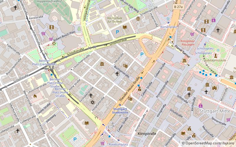
Map

Gallery

Facts and practical information
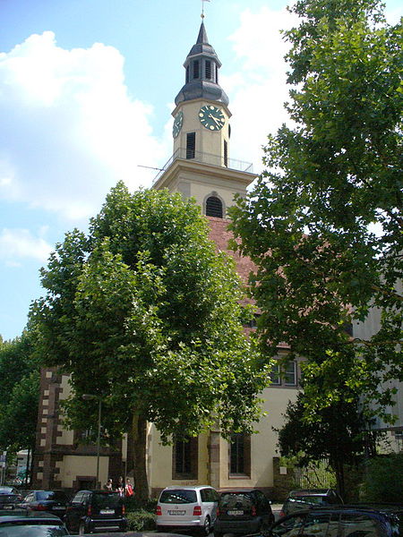
The Hospitalkirche is the third large medieval church foundation in the old town of Stuttgart and today the center of the "Evangelische Hospitalkirchengemeinde Stuttgart" within the church district of Stuttgart.
Architectural style: GothicCoordinates: 48°46'40"N, 9°10'22"E
Address
Büchsenstraße 33Mitte (Neue Vorstadt)Stuttgart 70174
Contact
+49 711 2068317
Social media
Add
Day trips
Hospitalkirche – popular in the area (distance from the attraction)
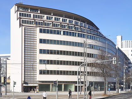
Nearby attractions include: New Palace, Kunstmuseum Stuttgart, Old Castle, Königsbaupassagen.
Frequently Asked Questions (FAQ)
Which popular attractions are close to Hospitalkirche?
Nearby attractions include Schlossplatz, Stuttgart (5 min walk), Börse Stuttgart, Stuttgart (5 min walk), Kunstmuseum Stuttgart, Stuttgart (6 min walk), Haus der Musik in Fruchkasten, Stuttgart (7 min walk).
How to get to Hospitalkirche by public transport?
The nearest stations to Hospitalkirche:
Bus
Train
Light rail
Tram
Bus
- Büchsenstraße • Lines: X1 (2 min walk)
- Kleiner Schlossplatz • Lines: X1 (6 min walk)
Train
- Stuttgart Stadtmitte (3 min walk)
- Stuttgart Feuersee (12 min walk)
Light rail
- Berliner Platz • Lines: U11, U14, U2, U29, U34, U4 (6 min walk)
- Rotebühlplatz • Lines: U11, U14, U2, U34, U4 (6 min walk)
Tram
- Schlossplatz • Lines: 23 (8 min walk)
- Charlottenplatz • Lines: 23 (13 min walk)


