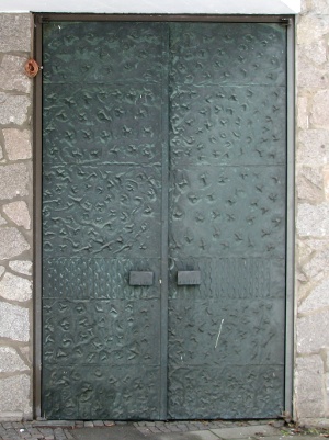
Kreuzerhöhungskirche, Mannheim

Gallery (2)
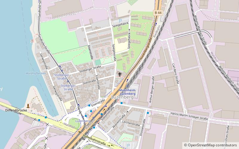
Map
Map
Gallery
Facts and practical information
The Kreuzerhöhungskirche is a Greek Orthodox church in the Luzenberg district of Mannheim. It was built between 1965 and 1966 according to the plans of Heinz Heß as a Catholic branch church.
Architectural style: ModernCoordinates: 49°31'6"N, 8°28'40"E
Address
Waldhof (Luzenberg)Mannheim
ContactAdd
Social media
Add
Getting there by public transportation
Public transportation stops near this location
- Bus
- Tram
- Train
 Bus
Bus
- Calculate routeMannheim-Luzenberg 2 min walk
- Calculate routeMannheim-Waldhof 16 min walk
- Calculate routeMannheim-Neckarstadt 31 min walk
- Calculate routeMannheim-Käfertal 42 min walk
- Calculate routeLuzenberg Ost 4 min walk
- Calculate routeMercedes-Benz Tor 1 4 min walk
- Calculate routeLuzenberg 4 min walk
- Calculate routeStolberger Straße 5 min walk
- Calculate routeLuzenberg 5 min walk
- Calculate routeStolberger Straße 5 min walk
- Calculate routeWaldhof Bahnhof 13 min walk
- Calculate routeUntermühlaustraße 15 min walk
Day trips


Frequently Asked Questions (FAQ)
How to get to Kreuzerhöhungskirche by public transport?
The nearest stations to Kreuzerhöhungskirche:
Train
Bus
Tram
Train
- Mannheim-Luzenberg (2 min walk)
- Mannheim-Waldhof (16 min walk)
Bus
- Luzenberg Ost • Lines: 58 (4 min walk)
- Mercedes-Benz Tor 1 • Lines: 58 (4 min walk)
Tram
- Luzenberg • Lines: 1, 3 (5 min walk)
- Stolberger Straße • Lines: 3 (5 min walk)