St. Salvator, Passau
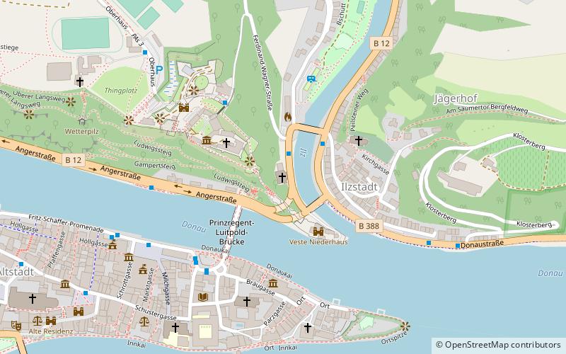
Map
Gallery
Facts and practical information
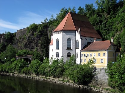
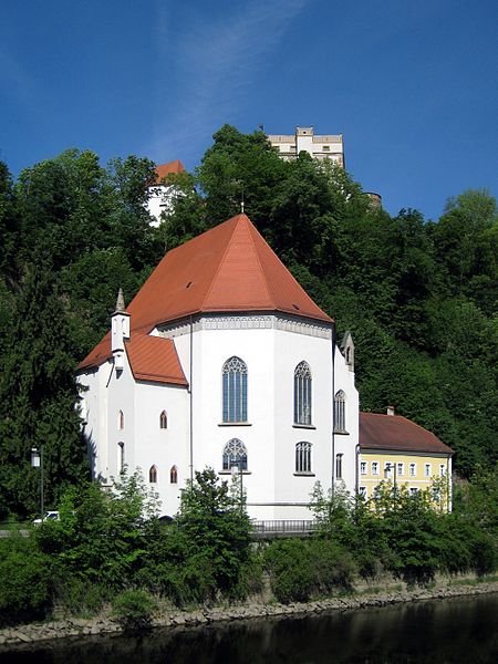
The side church of St. Salvator in Passau is located on the banks of the Il on the Georgsberg directly below the Veste Oberhaus. North of the church is the former provostry from 1501.
Coordinates: 48°34'36"N, 13°28'23"E
Address
3 Ferdinand-Wagner-StraßePassau
ContactAdd
Social media
Add
Day trips
St. Salvator – popular in the area (distance from the attraction)
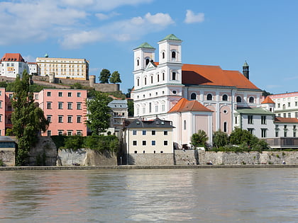
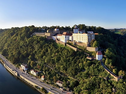
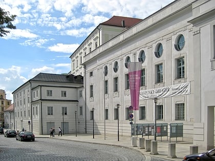
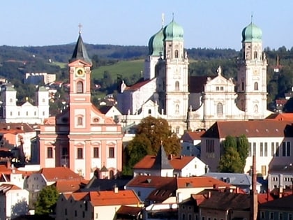
Nearby attractions include: St. Stephen's Cathedral, St. Michael's Church, Veste Oberhaus, Stadttheater Passau.
Frequently Asked Questions (FAQ)
Which popular attractions are close to St. Salvator?
Nearby attractions include Veste Niederhaus, Passau (3 min walk), Oberhausmuseum, Passau (3 min walk), Museum Moderner Kunst, Passau (4 min walk), Veste Oberhaus, Passau (4 min walk).
How to get to St. Salvator by public transport?
The nearest stations to St. Salvator:
Bus
Train
Bus
- Ilzbrücke • Lines: 1, 2, 4, 6101/001, 6122/19, 6130, 6131, 6135, K2 (2 min walk)
- Oberhausmuseum • Lines: Oberhausbus (4 min walk)
Train
- Passau Hbf (27 min walk)
