Stadtkirche Ludwigsburg, Ludwigsburg


Facts and practical information
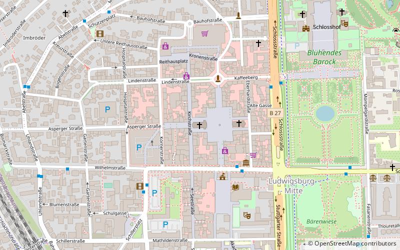
Stadtkirche Ludwigsburg (address: Stadtkirchenpl. 6) is a place located in Ludwigsburg (Baden-Württemberg state) and belongs to the category of church.
It is situated at an altitude of 978 feet, and its geographical coordinates are 48°53'51"N latitude and 9°11'27"E longitude.
Planning a visit to this place, one can easily and conveniently get there by public transportation. Stadtkirche Ludwigsburg is a short distance from the following public transport stations: Rathaus (bus, 4 min walk), Ludwigsburg (train, 12 min walk).
Among other places and attractions worth visiting in the area are: Market Square (square, 1 min walk), Kirche zur heiligsten Dreieinigkeit (church, 2 min walk), War Memorial (memorial, 4 min walk).
Stadtkirchenpl. 6Ludwigsburg 71634
Stadtkirche Ludwigsburg – popular in the area (distance from the attraction)
Nearby attractions include: Schloss Ludwigsburg, MHPArena, Schloss Favorite, Blühendes Barock.
Frequently Asked Questions (FAQ)
Which popular attractions are close to Stadtkirche Ludwigsburg?
How to get to Stadtkirche Ludwigsburg by public transport?
Bus
- Rathaus • Lines: 421, 422, 424, 425, 426, 427, 430, 431, 433, 443, 444, 533, N43 (4 min walk)
- Arsenalplatz • Lines: 421, 422, 424, 425, 426, 427, 430, 431, 433, 443, 444, 533, N43 (5 min walk)
Train
- Ludwigsburg (12 min walk)
- Favoritepark (25 min walk)


