Städtischer Friedhof, Chemnitz
Map
Gallery
Facts and practical information
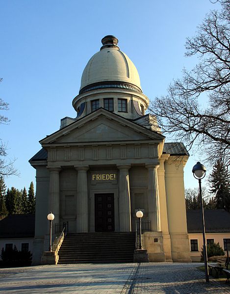
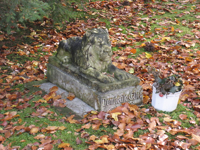
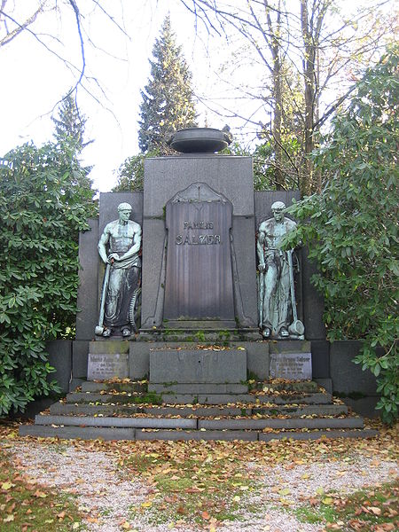
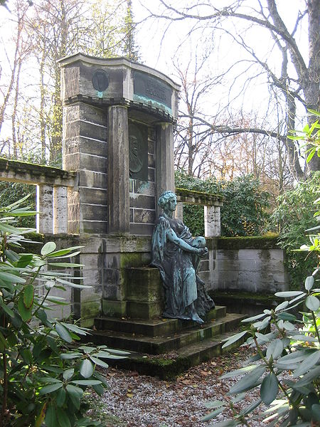
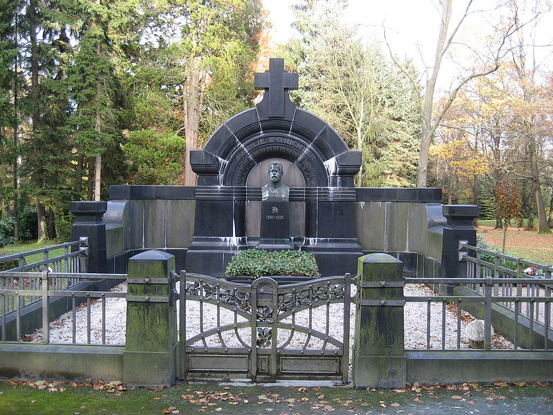
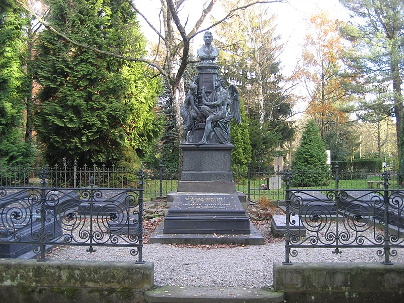
The municipal cemetery in Chemnitz is the main cemetery of the city of Chemnitz. It is located just outside the city center in the district of Bernsdorf. The cemetery is bordered by the Augsburger, Reichenhainer and Wartburgstraße. In the west, Reichenhainer Straße separates the crematorium and the urn grove from the municipal cemetery.
Coordinates: 50°48'45"N, 12°56'13"E
Address
Reichenhainer Str.BernsdorfChemnitz 09126
ContactAdd
Social media
Add
Day trips
Städtischer Friedhof – popular in the area (distance from the attraction)
Nearby attractions include: Gunzenhauser Museum, St. Johannes Nepomuk, Luther Church, Gedenkstein für die 1938 zerstörte Synagoge.
Frequently Asked Questions (FAQ)
How to get to Städtischer Friedhof by public transport?
The nearest stations to Städtischer Friedhof:
Bus
Tram
Train
Bus
- Grenzgraben • Lines: 43, 53, N14 (5 min walk)
- Städtischer Friedhof • Lines: 53, 73, 82, S91 (5 min walk)
Tram
- TU Campus • Lines: 3 (8 min walk)
- Wartburgstraße • Lines: 2 (10 min walk)
Train
- Chemnitz Süd (24 min walk)
- Chemnitz Mitte (35 min walk)


